Some years ago, I was scrolling through Trail Runner Magazine when I came upon an article about hiking Teton Crest Trail. The author painted a picture of a gradual gravel path winding through spectacular mountains that captivated me for the handful of minutes it took to read. Then I scrolled to the next article, shoving the TCT to the back of my mind.
After choosing to hike the Wind River High Route, I realized how close the two areas were, and we extended our trip into Grand Teton and Yellowstone. The first item on my bucket list for Grand Teton was the Teton Crest Trail. Given time constraints and our inability to reserve a permit, Kathryn and I considered every option for a Teton adventure but wanted nothing but the complete trail.
While researching the trip I found another article from Trail Runner Mag that described running the crest. I was thrilled by the idea, but the run would have to take place just days after the weeklong hike on the WRHR for Jim and me. Thankfully, after some internet digging, we found another group that had done both routes in one trip. Due to logistical issues, Jim had to take a rain check on the run, but Kathryn and I marked our calendars for the 7th of August.
Four short months later, Jim and I flew to WY to hike the WRHR. Meanwhile, Kathryn attempted one last training run at home and spontaneously pulled her calf muscle! After a week of rest, she determined she was up to the challenge and met us in Pindale.
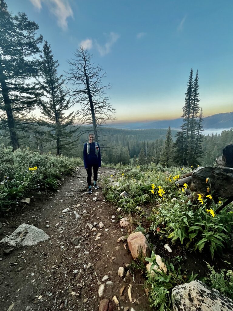
Jim dropped us at Philip’s Bench at six before his morning flight out of Jackson. We were all a little apprehensive about the strain the run would put on Kathryn’s wounded muscle, but when we started jogging, it was clear that this would be a “go.”
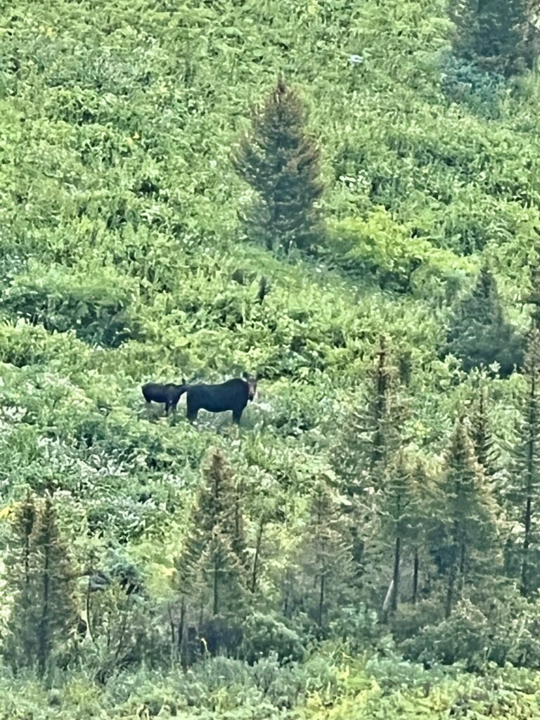
We started by walking before breaking into a controlled jog, trying not to surprise any wildlife but hoping to see some. We were delighted when we rounded a bend and saw a moose and calf in a valley below. Mother moose will charge if provoked, but we maintained a safe distance.
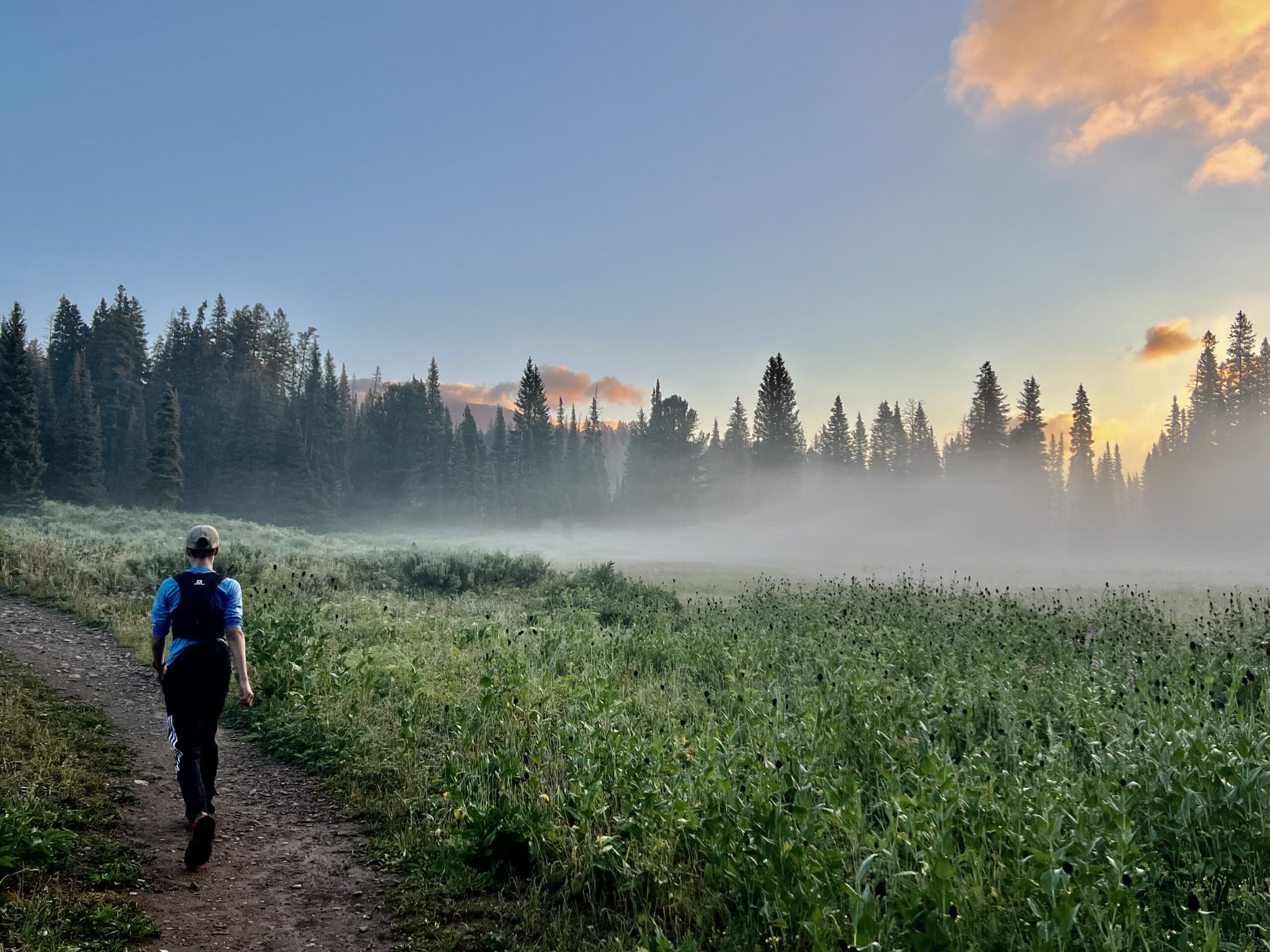
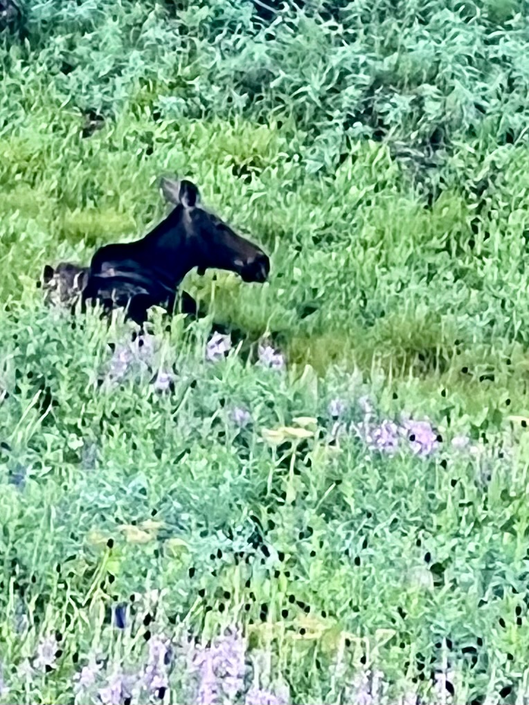
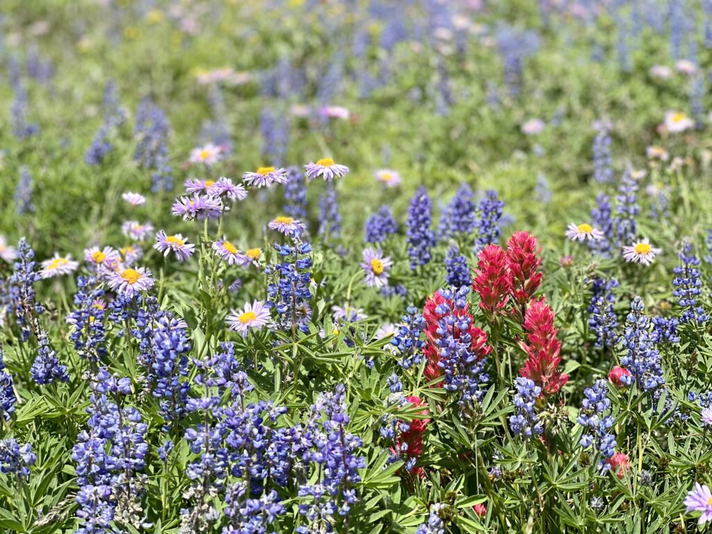
I was bummed about the poor zoom on my iPhone camera, but we were traveling light, and it was the only camera I’d brought. Soon, the trail turned into a meadow brimming with fireweed and began to gradually ascend. Spending the early morning hours in these meadows was one of the hike’s highlights.
Kathryn did a double take as we rounded a bend, joking, “that log over there sure looks a lot like a moose.” As it turns out, “that log” was a moose. It was fast asleep as we passed it nearby.

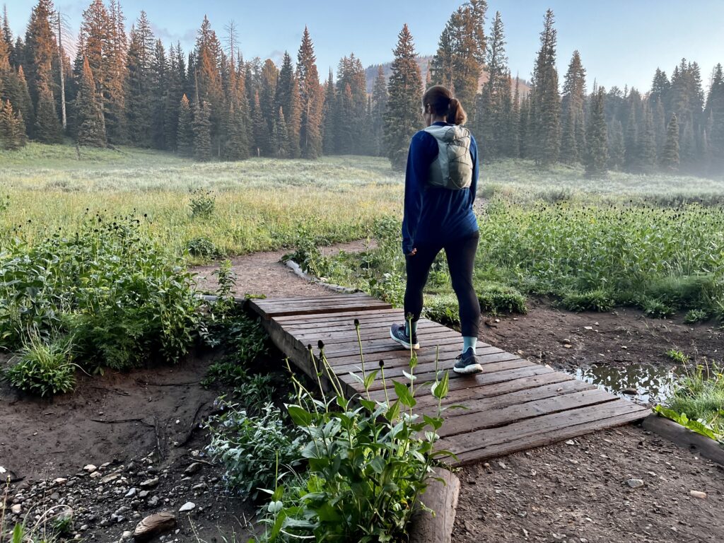
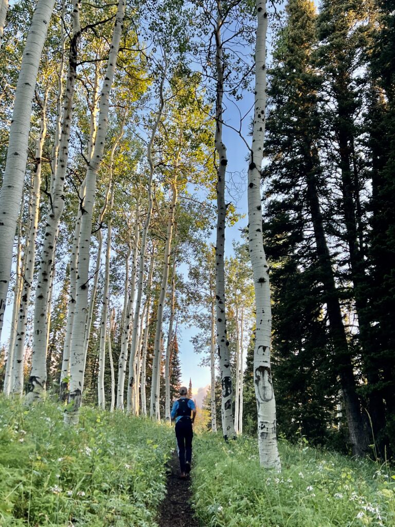
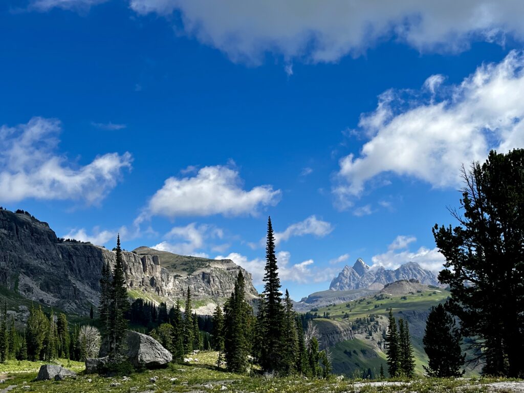
We gradually ascended to Philips Pass and entered the Jedediah Smith Wilderness. Phillips was more of a crest because there was a substantial ascent after the pass. The landscape was still shadowed and misty, but we had a clear view of the vast terrain to the west. Above the pass, we contoured through tree stands and climbed some switchbacks into Grand Teton NP.
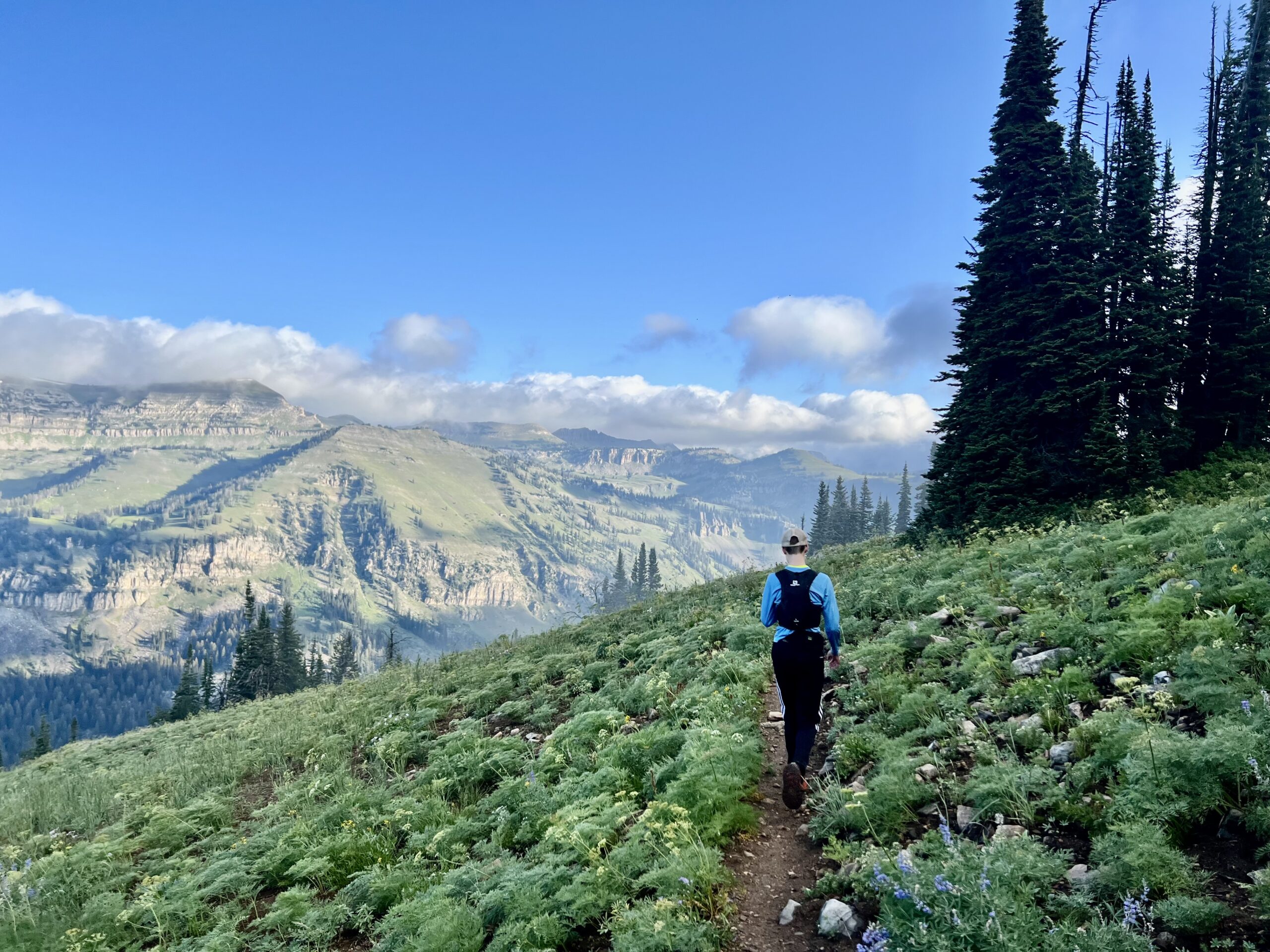
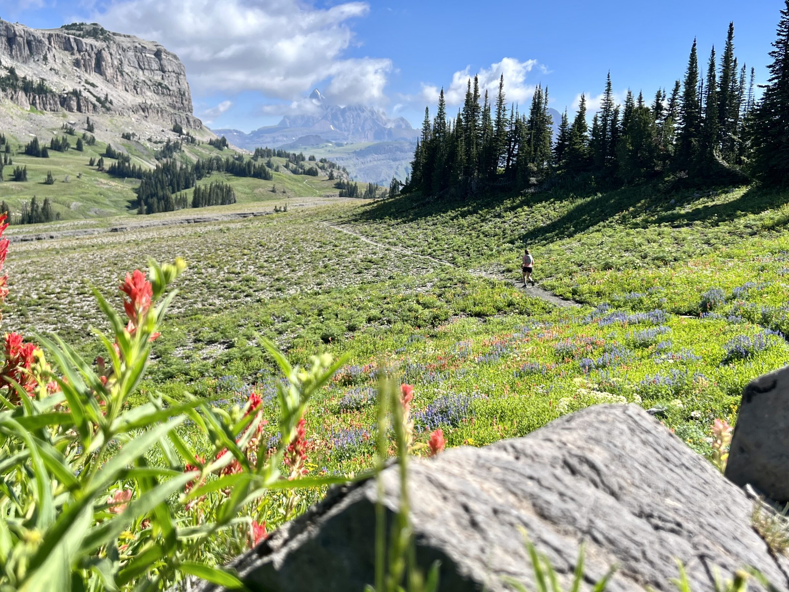
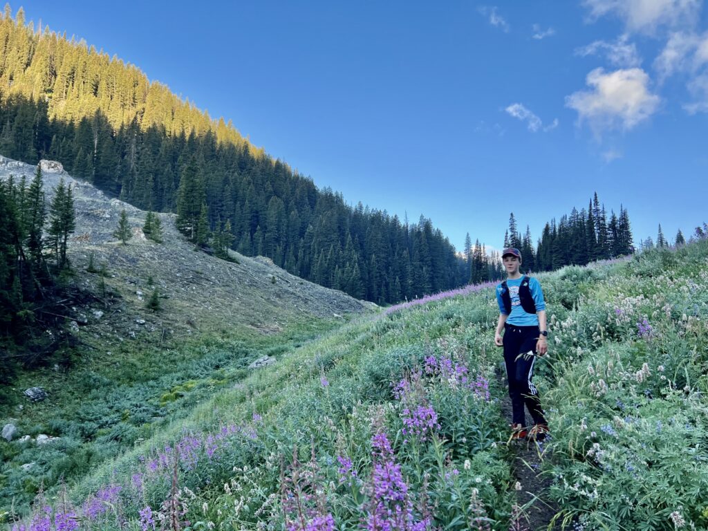
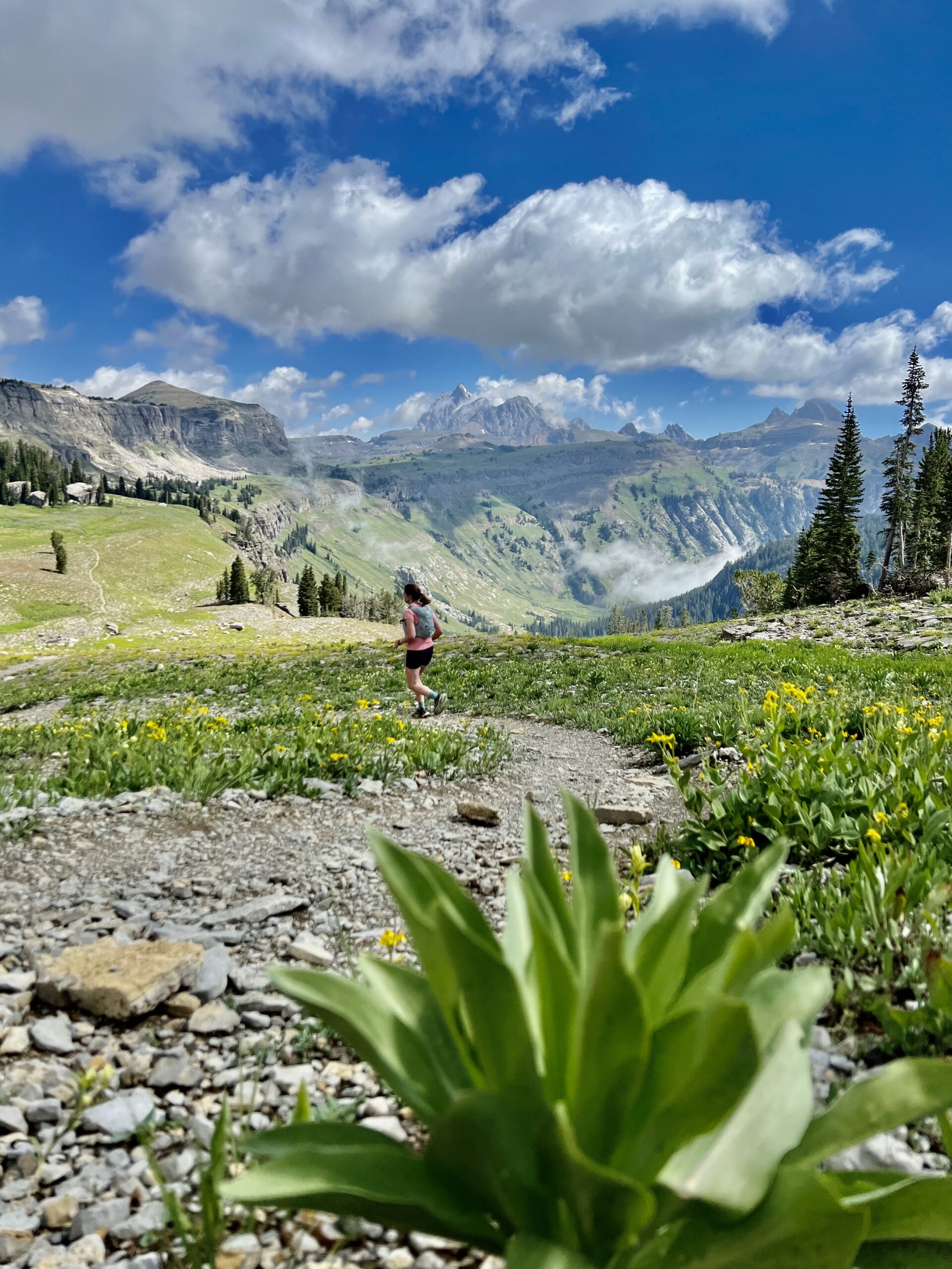
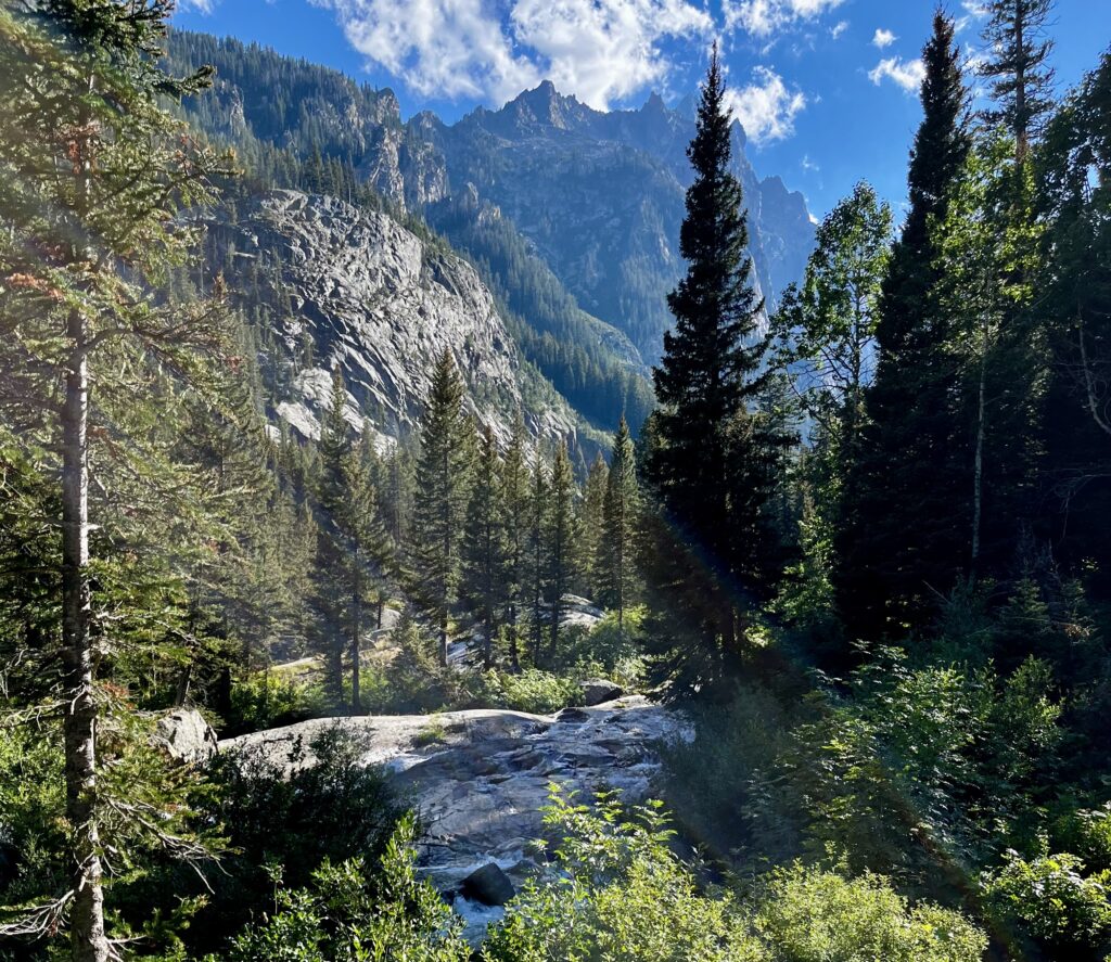
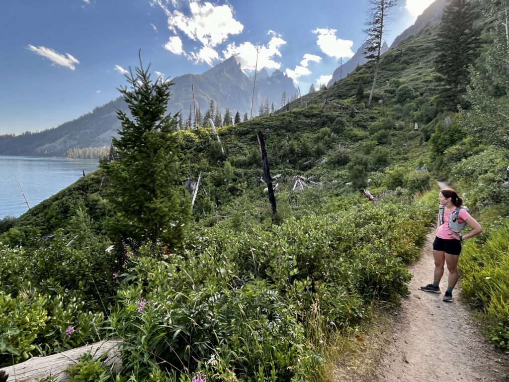
We joined with some trails from Rendevous Mountain and continued toward Marion Lake. The alpine views were already stunning, and they would only get better! I was thrilled by the grade of the trail. It was a simple gravel path through the mountains. No rocks to trip on, no ledges to climb. The scenery was astonishing. Wildflowers, lodgepoles, and green slopes surrounded us in every direction. I attempted unsuccessfully to turn my phone into a GoPro while Kathryn continued ahead. The rolling, grassy hills allowed for easy footing, so I could easily catch her at a faster clip. We crested a hill and walked toward Marion Lake, which was seemingly home to half the range’s wildlife.
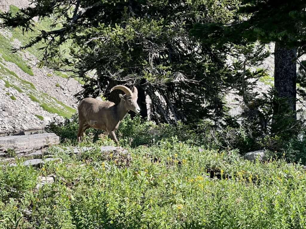
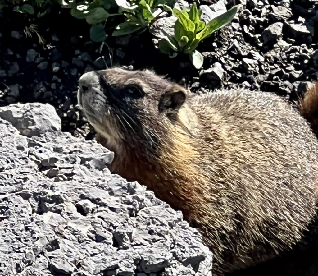
There was clean water crossing the trail at regular intervals, but we chose to filter and be extra safe. It wasn’t any extra trouble because we had soft flasks which filtered the water by suction as we drank. Marion Lake is a popular camping spot, so there were many people packing out. We saw bighorn, marmots, osprey, and rodents all within a mile of the lake. After Marion, there was a brief ascent to Fox Creek Pass and our first views of Grand Teton in the distance.
The shelves found here are akin to massive staircases. The trail is routed across Death Canyon Shelf with cliffs above and below. We covered ground quickly and stopped for a lunch break at Mt. Meek Pass. The Grand now felt far closer, but the terrain between us and the mountain looked less runnable. Luckily for our legs, the trail bypassed that area with a dip into the colorful Alaska Basin.
We jogged across the basin and power hiked over a ridge to Sunset Lake. There were many day hikers packing in from the Idaho side and sundry tents throughout the bowl. Alaska Basin is a very popular spot to camp because it lies outside the national park boundaries and does not require permits.
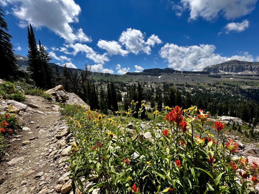
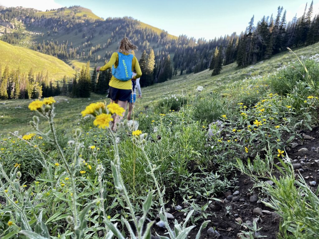
At Sunset Lake, the trail wound through a colorful carpet of wildflowers. The afternoon sun on the cheerful meadow evoked a memorable feeling of freedom.
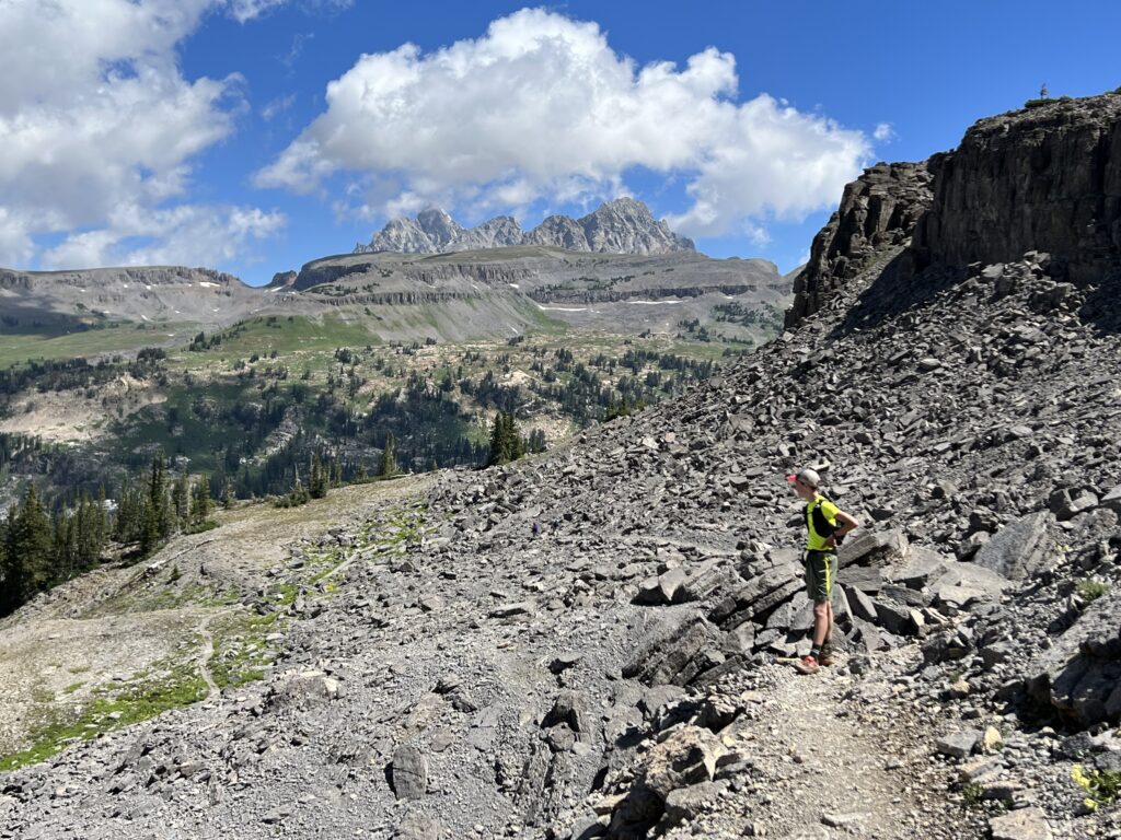
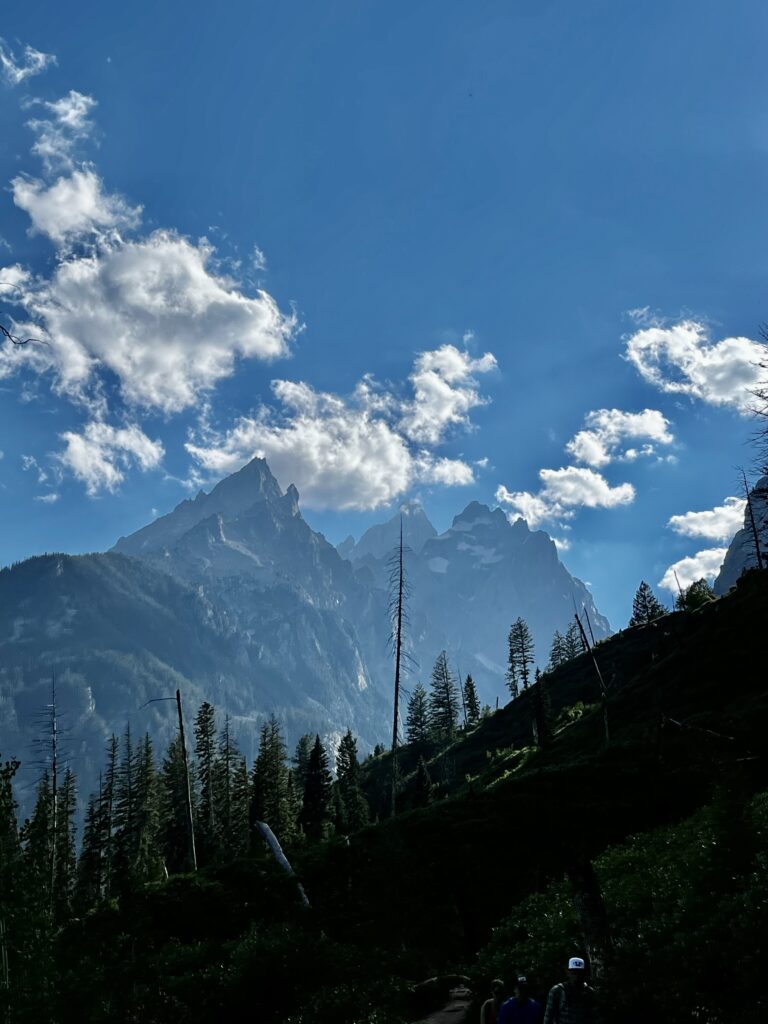
We began climbing switchbacks to Hurricane Pass, the high point of our trip. The landscape became dusty as we crested the basin. It was a straight shot to the top of the pass, where we were treated to a complete view of the Tetons.
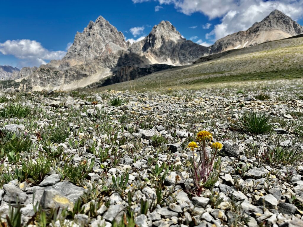
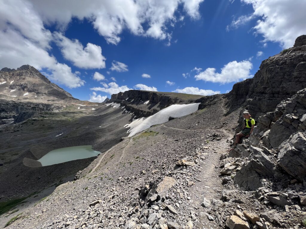
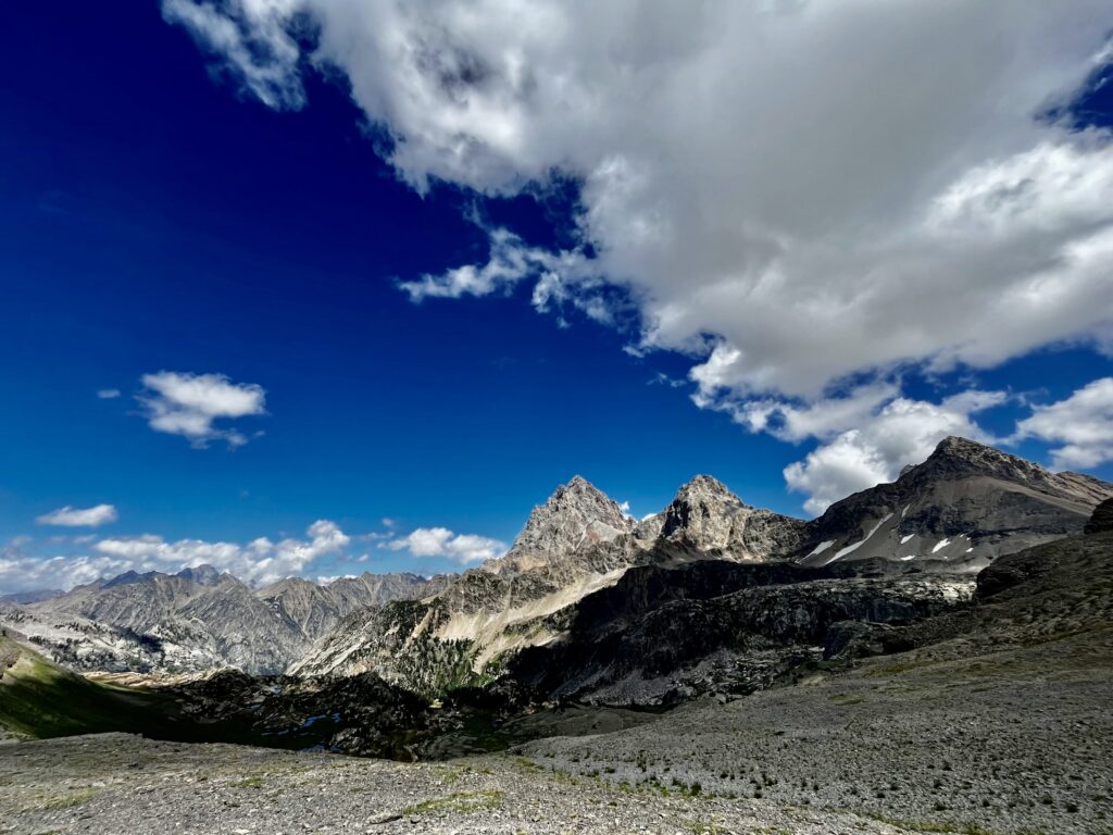
The view from Hurricane was the best view of the Tetons we got. After cresting the pass, it was as if a switch was flipped. Gone were the lush mountain meadows. This was a land of granite crags. We began a gradual descent, switchbacking along the rock field by Schoolroom Glacier.
We were mainly powerwalking at this point. Running the entirety of the trail is possible, but those who manage that are far more disciplined than we were. Besides, the pressure was gone and we had plenty of time to make it to String Lake. Kathryn’s calf had not bothered her yet, but her knee began to seize up. Maybe she was compensating for the weak calf with an altered stride?
We passed loads of hikers at a brisk pace, driven forward by caffeinated gels and the thought of a good meal. A friendly elderly couple cheered us on and asked where we were coming from. We told them we had started a couple of miles out of Teton Village at Phillips Bench.
“Gosh, how many days did that take you?”
The trail was flat and fast. Soon enough, we saw Jenny lake sparkling through the trees. We got one last view of the mountains from the banks of the lake.
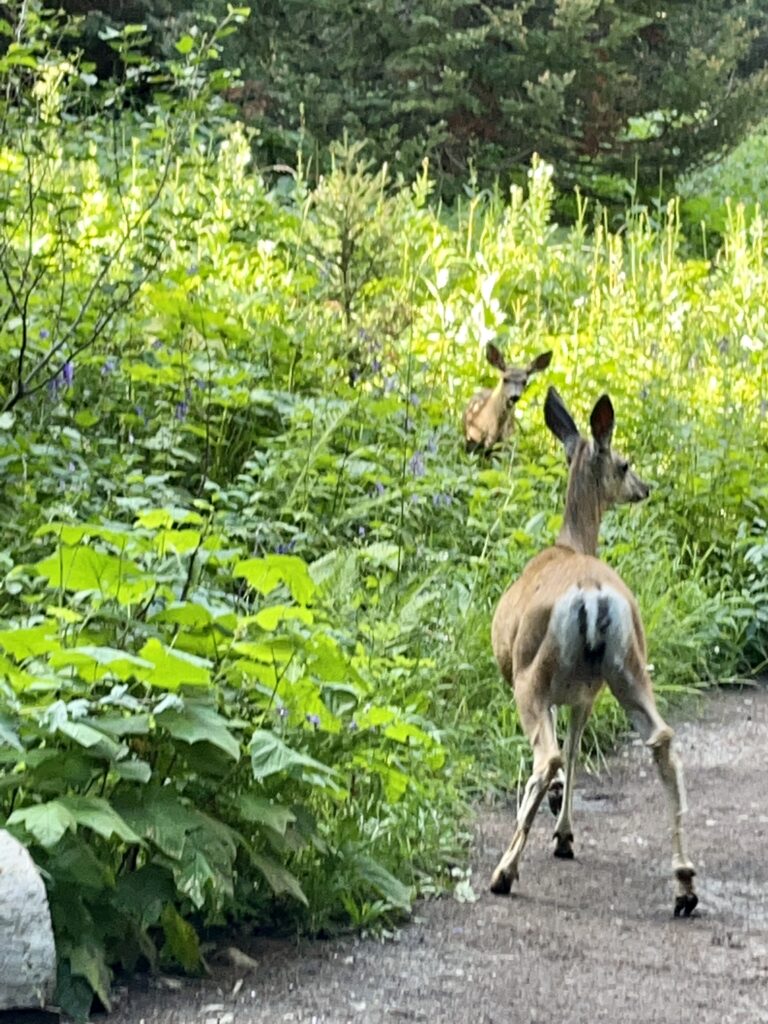
It was an easy walk along picturesque Jenny Lake to our car at String Lake. There were abundant huckleberries and Mule Deer frequenting the area.
Reflections:
Running the Teton Crest Trail was easily one of the most enjoyable experiences I’ve had in the mountains. It was bliss from Philips Bench to String Lake. The views were beautiful, the grade was perfect, and the footing was great. It is hard to find reports of people running the Teton Crest on the web, but many people do. Kathryn had never run more than fifteen miles in a day. Neither of us had hiked more than 24 miles in a day. The trail was a challenge, but doable.
Notes:
- We hiked 33 miles with 7180 feet of ascent and 1000 more feet of descent.
- I highly recommend starting at Philips. The initial climb was one of the best parts of the hike. The tram cuts off a lot of great terrain.
- I don’t see why people would hike the trail in the opposite direction. It is far more aesthetic to approach the Tetons. Also, why have net gain if you can have net descent?
- We considered continuing to Paintbrush Divide but felt we’d gotten a great sense of the Tetons without it. More elevation and rock scrambling didn’t appeal. Paintbrush Canyon adds eight miles.
- We surprisingly saw very few backpackers the whole way. Definitely more trail runners out.
- We brought bear spray but never used it.
- My Hoka One One Speedgoats were great shoes for the occasion because of their grip. Unfortunately, with the latest edition of these shoes, Hoka has significantly raised the price. I would recommend bringing shoes with good traction.
Wow!!
I appreciate you sharing your experience. You referred to some training at the top of your post. How would you recommend training for this or something similar? Nice site.
Our run was just over 50 kilometers (31 miles), but Paintbrush Divide added another 15k (total = 40 miles). Both distances are ultra-marathons that require similar training. If you’re starting with good fitness, 16 weeks should do the trick. The books recommend working up to 50 miles a week before two weeks of lower mileage if you plan to run. With enough mental resolve, distances like this can be achieved with a lot less training. Training could be signing up for a marathon or half marathon and running it. You will be hiking significant amounts of the trail at a “power hike”. This is not nearly as difficult to maintain as a run. If you run 25+ miles a week you should be able to “fake it till’ you make it”.
Pingback: 4 Special Days Exploring Yellowstone + Its Many Hidden Gems