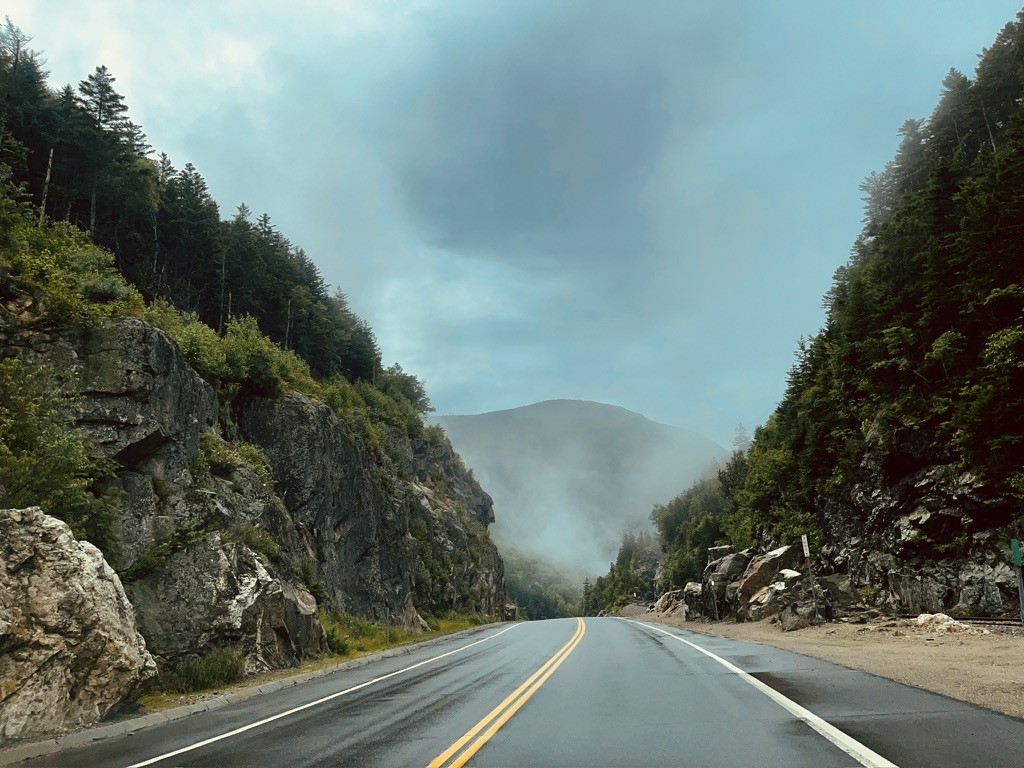
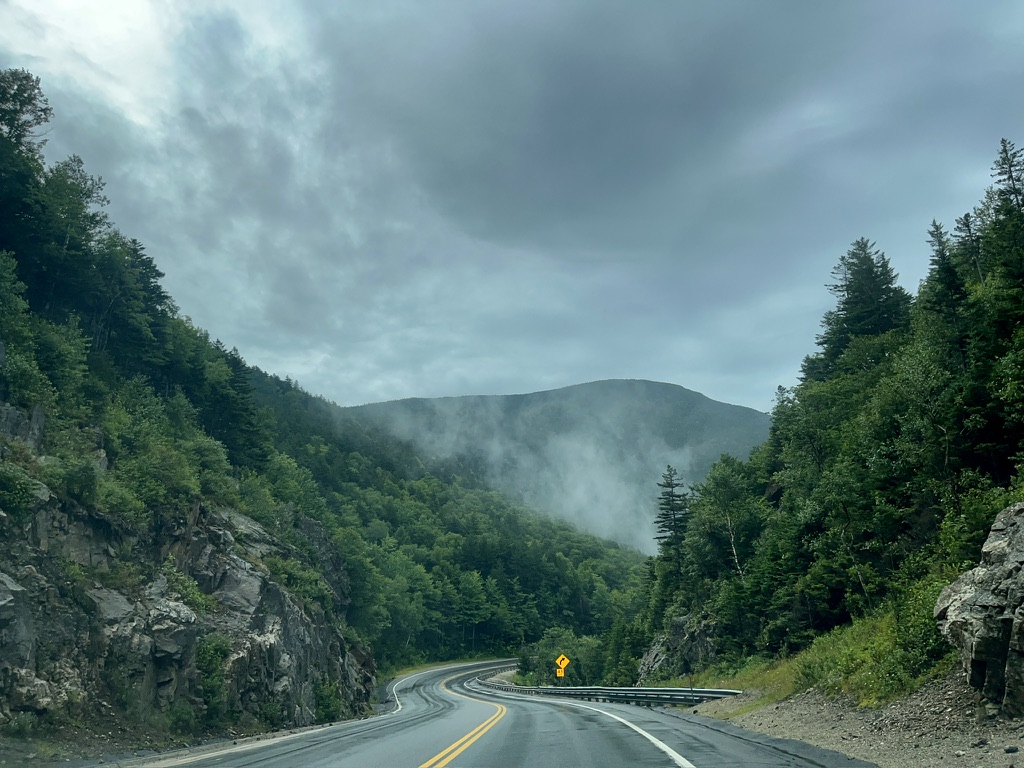
Mist rose off the lakes and rolled off our windshield as we drove through rainy Crawford Notch. Staging a car in the parking area where the Appalachian Trail intersects NH Route 302 was the first step in my three-day Appalachian Trail section hike between the Rattle River Trailhead (near Gorham) and Franconia Notch. The hike would cross 70 of the most scenic miles on the New Hampshire AT while climbing a gross 23,000 feet over three days.
The nasty weather left the area quiet, so we had no problem finding parking near the road. A misty rain dusted us as we consolidated into one car.
Kathryn dropped us at the Rattle River Trailhead an hour later. Though the weather was not ideal, the damp forest felt peaceful, and neither Jim nor I minded the intermittent rainfall. Besides, better weather was forecast for the other days of the trip, when we would cross more scenic terrain. The rain must have been heavy in days prior because the Rattle River was uncommonly high. We followed it upwards until it was just a stream, augmented by trickles of water that crossed our path. I am always captivated by the various watersheds in the Whites!
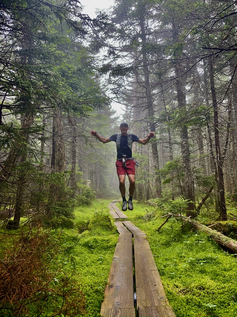
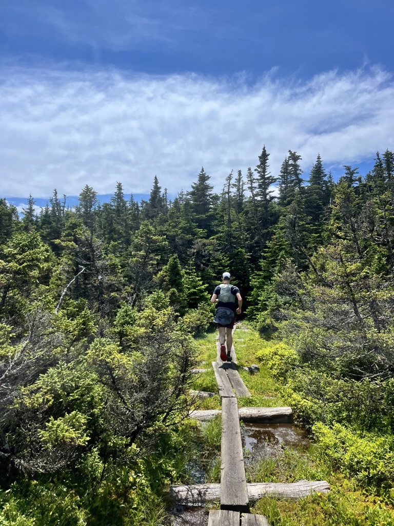
While we could jog the first few flat miles, we power-hiked most of the incline to the Carter-Moriah Ridge. We decided not to take the spur trail to the summit of Mt. Moriah because we had summited before this trip. Plus, we were socked in. Having returned to the ridge trail, we continued along some bog bridges. They must have been recently installed since there were planks lined against the trail. I was thrilled to see the thriving carpet of moss, a product of the trail maintenance on this section.
We descended deep into a basin where the Stony Brook and Moriah Brook trails met ours (from the west and east respectively). Imp shelter was located nearby. We had passed no hikers until this point, but now we met a family packing out of Imp.
As we climbed out of the basin, the sky began to clear, and patches of blue appeared, unmasked by the rising mist. We had intermittent views (though none unobstructed) to the East along the ridge near North Carter Peak. We were focused on making good time because there was little to see given the conditions, so we jogged. Middle Carter had no view and no sign marked its summit! South Carter Peak was visible across much of the ridge, so we had set our sights on it as a lunch spot. From what we remembered, it had better views than the North and Middle Carter peaks.
We arrived at South Carter around noon and enjoyed chocolate, bagels, and dried fruit on a wet rock. It was pretty chilly (in the high 40s), so we did not stop for long. Instead, we continued down to Zeta Pass where we met the Carter Dome Trail. There were relatively new junction signs throughout the area, and each junction was a source of satisfaction as they began to count down the miles to Carter Notch Hut.
Our goal to follow the Appalachian Trail (as long as it was the more scenic option) led us to turn onto the steep ascent up Mt. Height. Though Mt. Height does not constitute a 4000-footer itself, it is considered the most scenic peak in the Carter Range. Our luck was incredible! We broke above the treeline, and the sun materialized from behind a cloud.
The “summit” offered 360 degrees of scenery, with the expansive Wild River Wilderness stretching toward Maine to the East. From the rock outcrop on Mt. Height, we could see South and Middle Carter and the Presidential Range, our venue for the following day. The euphoria of the sunshine, lighting the alpine garden, made the slog worthwhile.
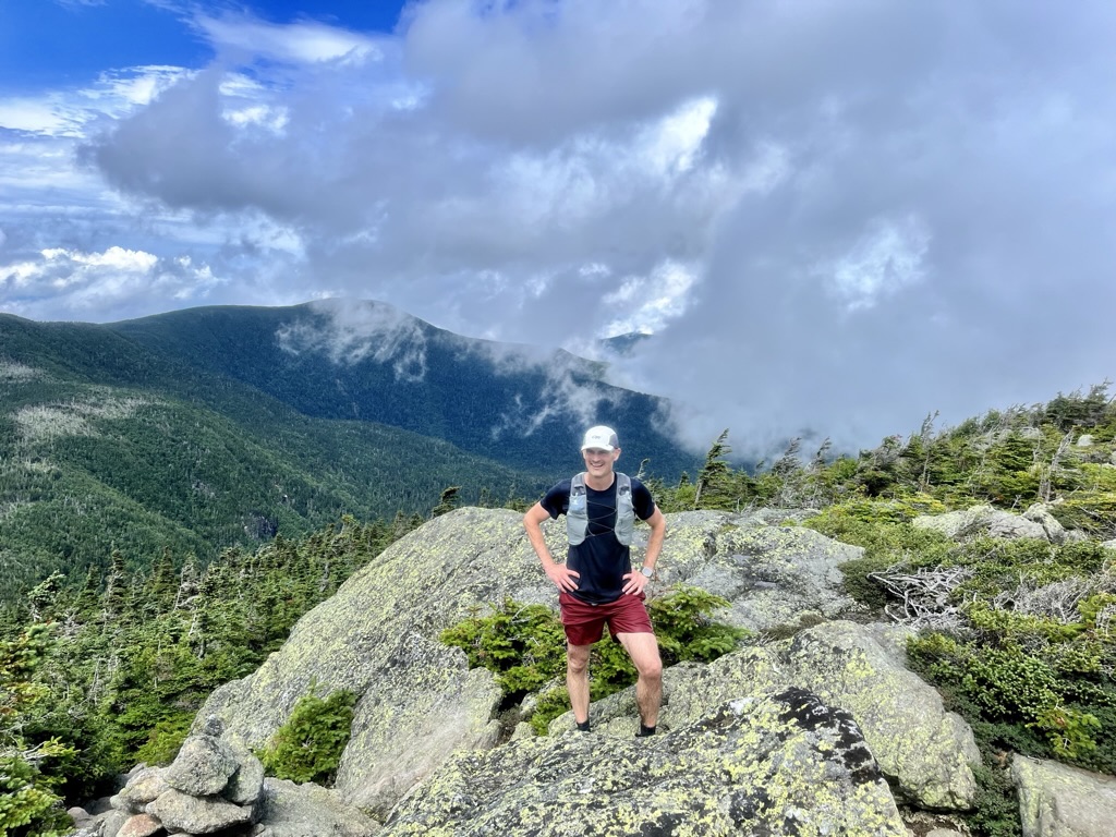
After a second meal on Mt. Height, we ducked back below the treeline to climb Carter Dome. The walk to its summit was not long and we soon arrived at a clearing surrounded by evergreens with a cairn in the middle (marking the technical summit of the mountain).
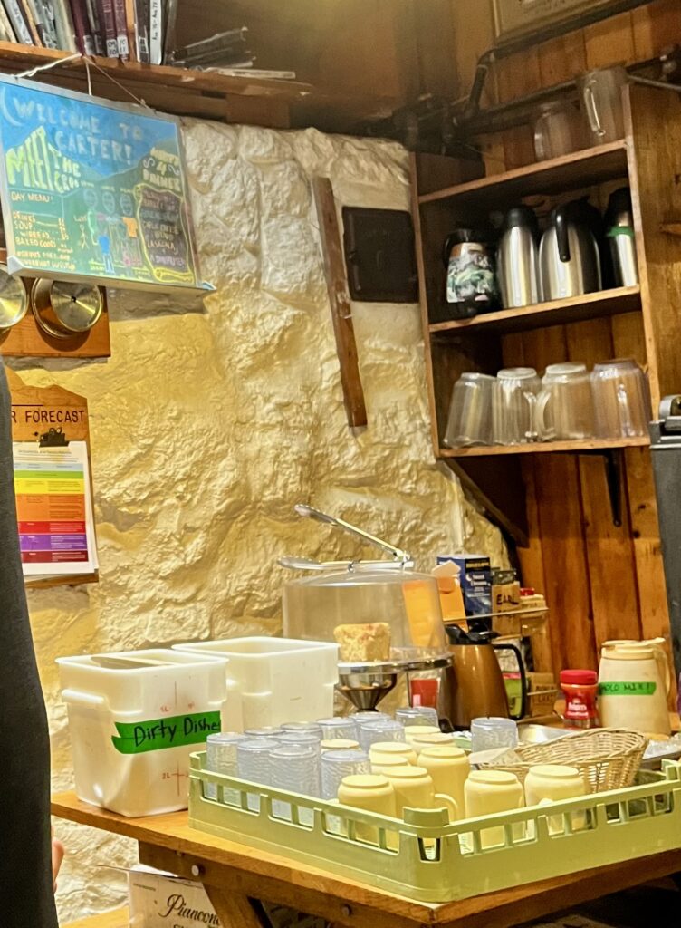
Descending from Carter Dome, we quickly lost almost 1500 ft in elevation to arrive at Carter Notch Hut. Carter Notch Hut appears small and antique but it is charming inside. It is also beautifully situated by a pond and a stream. The hut was empty, except for the caretaker. We talked to him briefly while we enjoyed some hot drinks. However, a rain storm was blowing in so we did not stay long, continuing up the steep ridge to Wildcat Mountain.
There were no views on the first part of the Wildcat Ridge, and if there were, there would be little to see since we were socked in. We crossed the ridge at a jog until we reached Wildcat D, the summit of the Wildcat Ski Mountain.
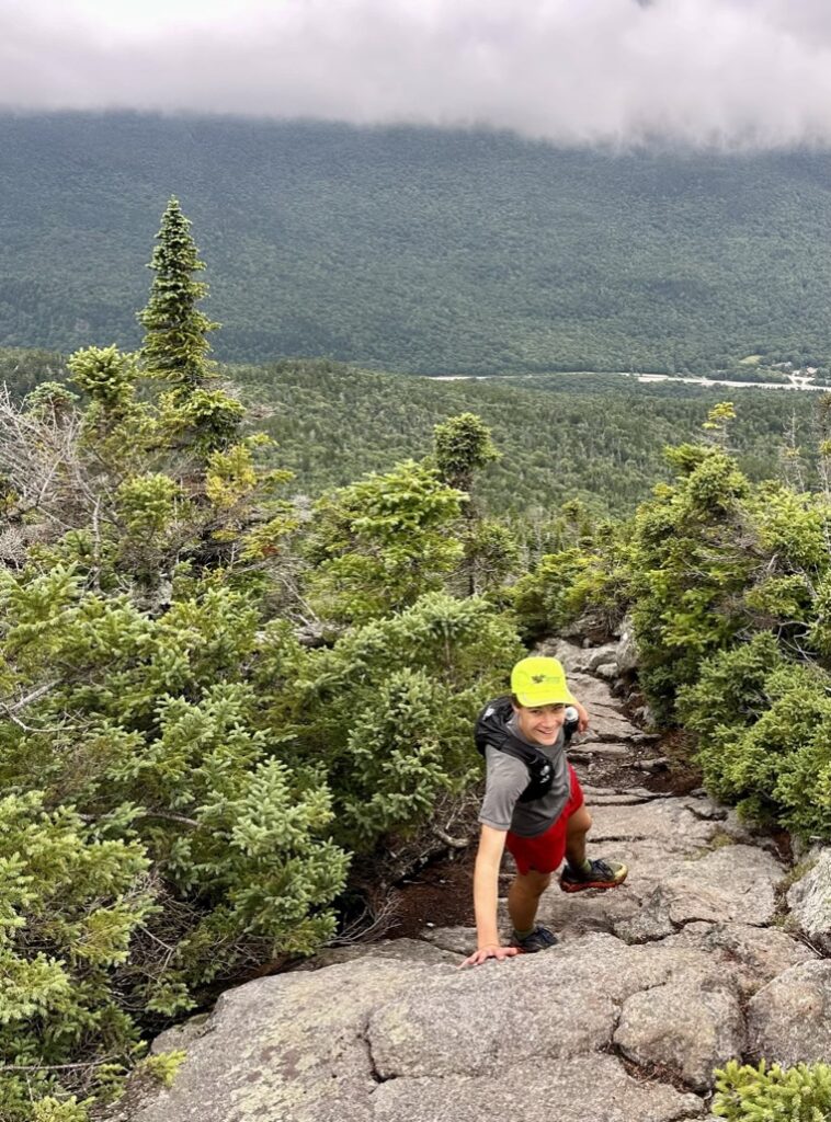
Soon, we descended beneath cloud cover on the Wildcat Ridge Trail to see Pinkham Notch. From there, it was a short jog past Glen Ellis Falls, to the Pinkham Notch Visitor Center. We hoped to make it in time for a hot meal there. Kathryn met us on the Lost Pond Trail, where we navigated a boulder field paralleling the road. We soon crossed the bridge and arrived at the dining hall in time for showers and a meal.
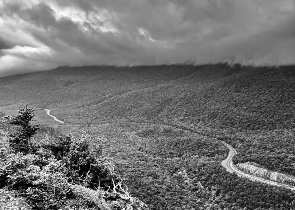
Day 2
On the morning of day two things were looking up! We left the lodge long before six and planned to cross the Great Gulf wilderness in the golden hours of the morning. We used Joe Dodge Lodge as a base camp for our trip, so the car we staged in Crawford Notch was our destination for the day.
The Prezies are unique, even within the White Mountains, and that was evident even in the Great Gulf Wilderness. They somehow feel larger, more like Western peaks.
Sun streaked through the evergreens along the Old Jackson Road, as we began to jog. Kathryn was joining us for this leg of the trip, having enjoyed a more comfortable day in Gorham the day before.
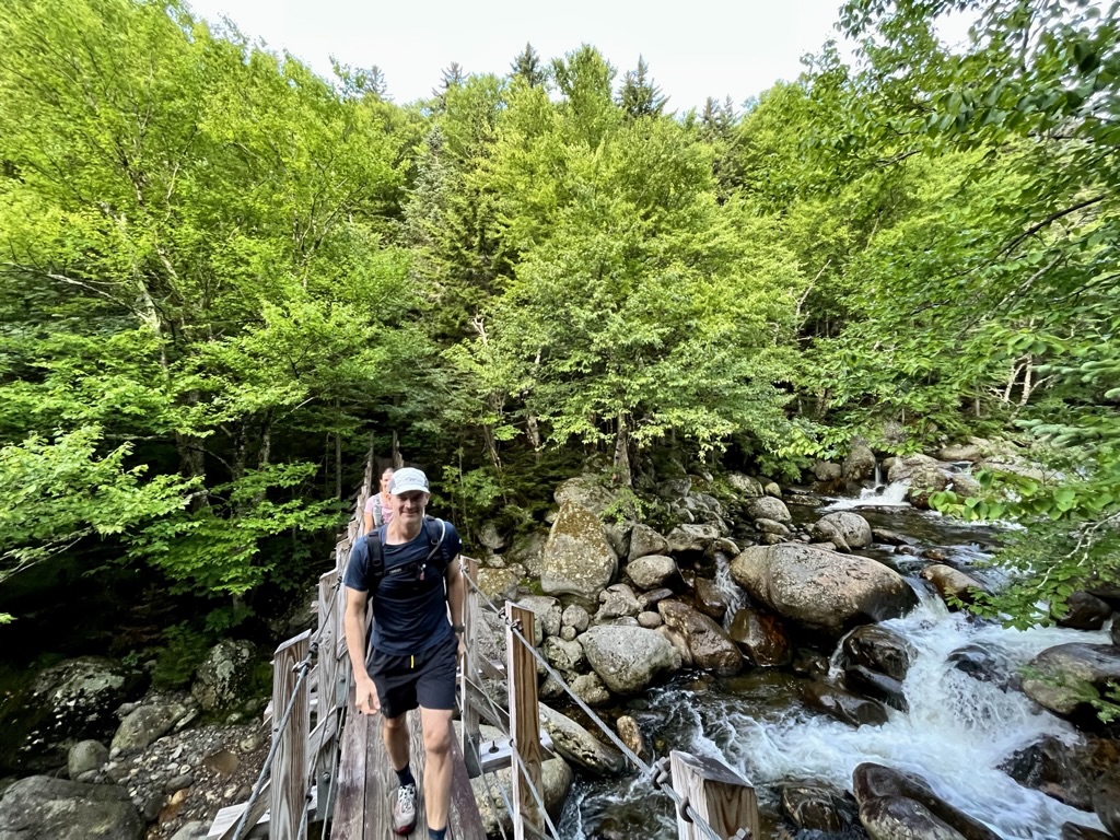
After crossing the Auto Road, we entered the Madison Gulf Watershed, crossing small streams until we reached the Mad Gulf River. We crossed the river on a wonderfully picturesque suspension bridge (see above) and began our ascent of Mt. Madison via the Osgood Trail.
The trail was steep enough that we ascended to the 5,000-foot peak of Madison over just two miles. (Only one of those miles was below the tree line.)
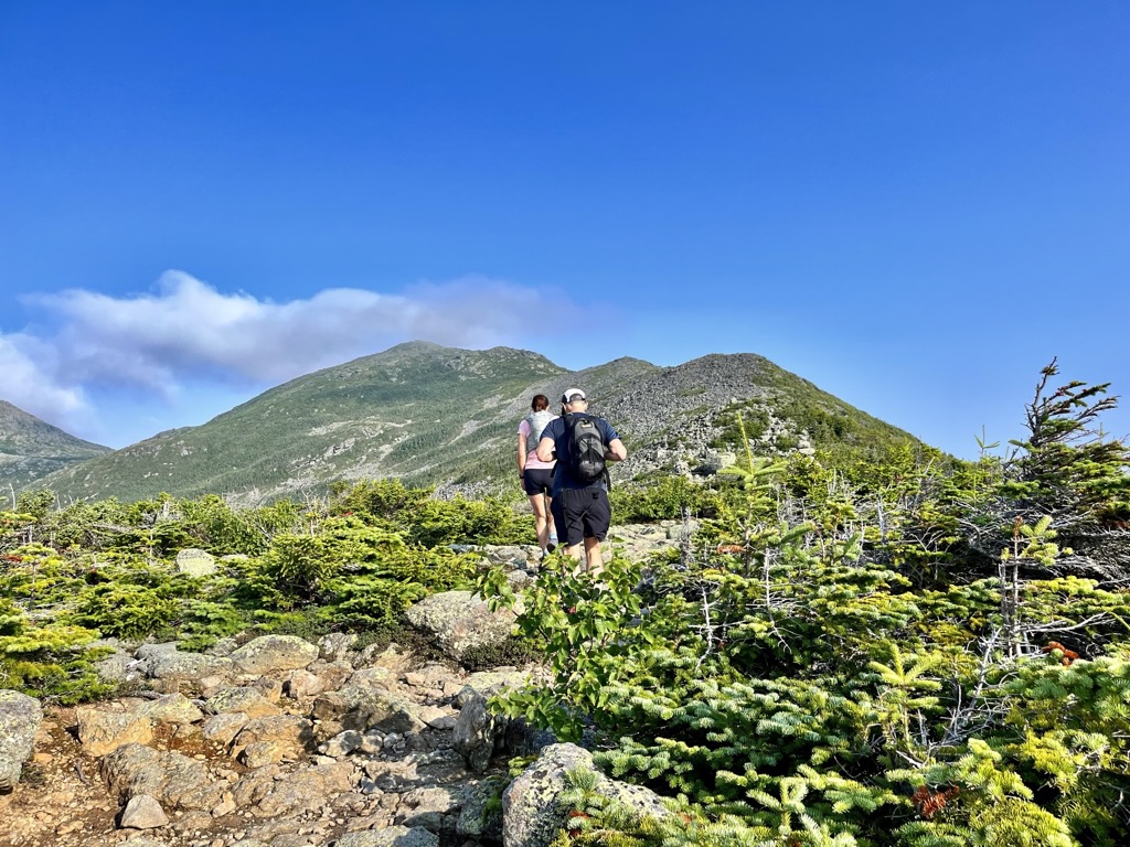
For the first time on Madison, the false summits, that provide views to the North but reveal another ascent ahead, did not fool me. In the past, when ascending the nearby Pine Link Trail, I have repeatedly fallen into that trap. Not this time!
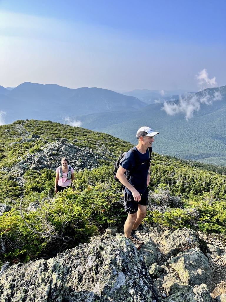
I tried to locate some caves I had found on my last hike up Madison. Those “caves” are a popular summit feature, but I could not find them this time. Still, I had run up the mountain ahead of Jim and Kathryn and had time to enjoy the summit. In my opinion, Madison is one of the most scenic peaks in the Northeast. After Jim and Kathryn arrived and enjoyed the view, we descended to Madison Spring Hut, in time for a second breakfast.
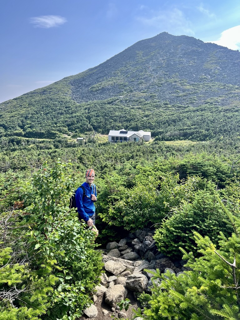
We had left too much time on the summit and at the hut, and now we needed to focus on making back some. As we ascended Mt. Adams, I was excited that maybe (for once) the peak would not be shrouded in clouds. Unfortunately, I’ve found this mountain is a cloud magnet— one blew over the summit just as we began the final stretch. Soon, we couldn’t see four feet— and it was cold! At least that meant, we kept a solid pace over the peak.
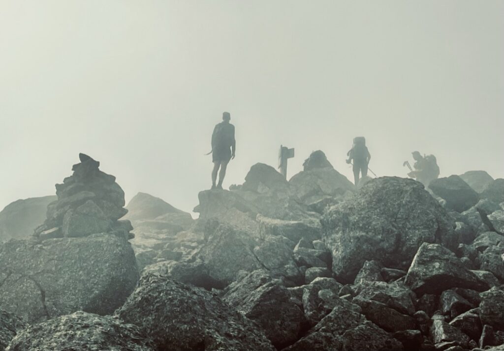
We maintained our speed as we passed Mt. Quincy Adams and the Adams Five. There was little to see, but we could make out the steep walls of Kings and Castle ravines. In the Presidential Range, the most scenic sights are the nearby ridges and the surrounding alpine gardens, home to some of the most diverse species in the world. At least we could see the flora near us.
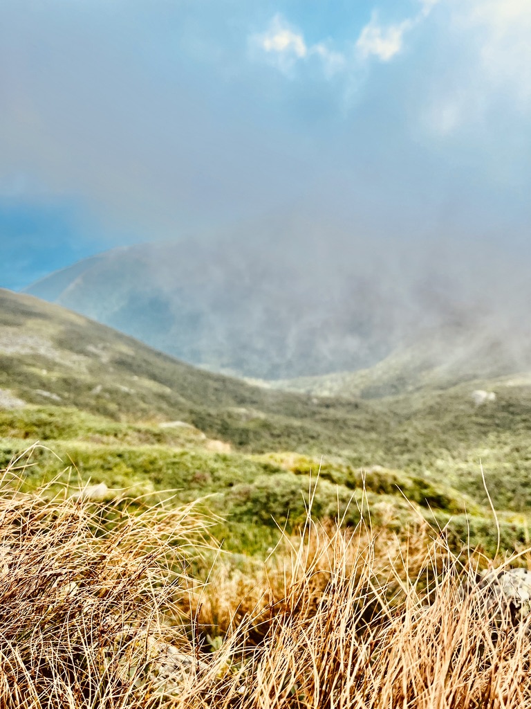
We jogged a bit and soon summited Mt. Jefferson. Kathryn was disappointed that both times she had climbed Jefferson it was socked in. Our luck improved as we neared Mt. Clay— the clouds gradually blew off. We could see both sides of the ridge now, and the sun warmed us up. From Mt. Clay (considered part of Mt. Washington), we could make out Washinton’s summit, high above us. We could hear the cog railway, even from this distance.
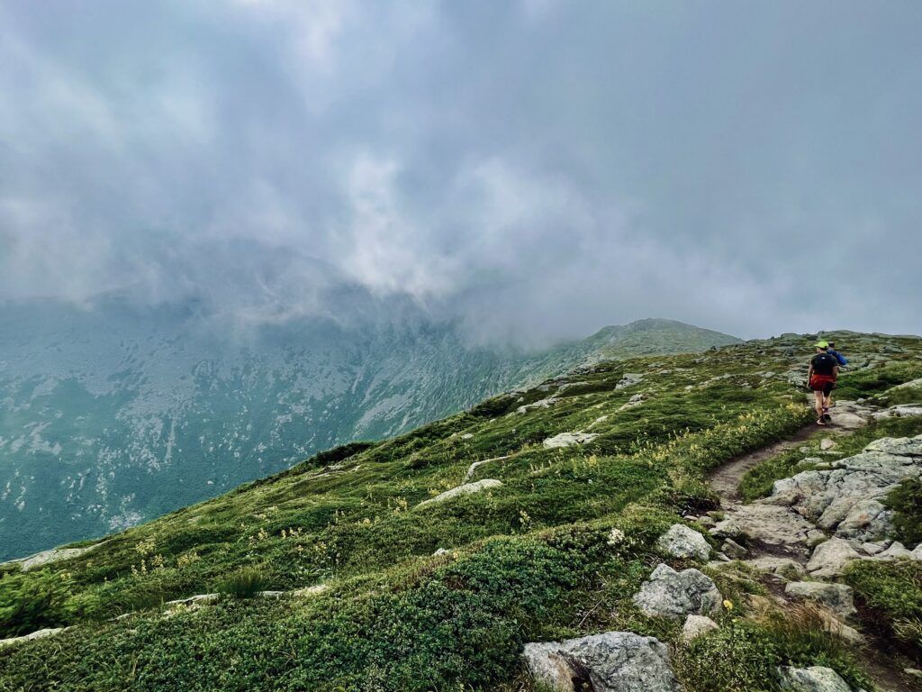
We jogged along the ridge and began to ascend Mt. Washinton. Soon enough, we could see the Cog Railway’s Tracks. Two trains were ascending a crag far below us. I decided to race one to the intersection of the Appalachian Trail and the tracks. I wanted to capture some photographs as it passed.
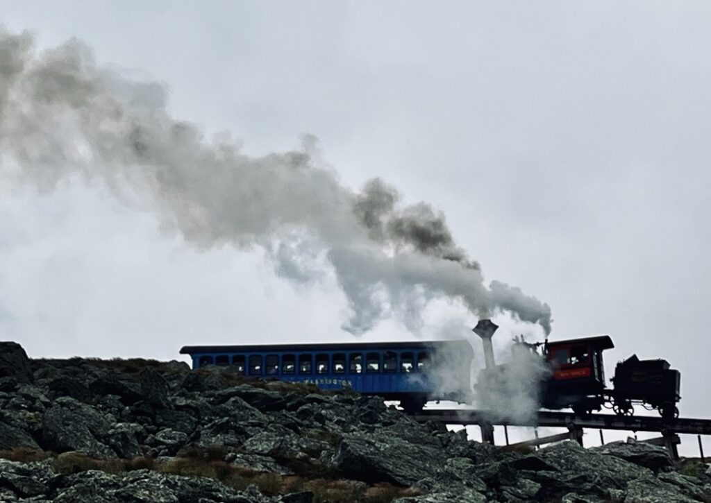
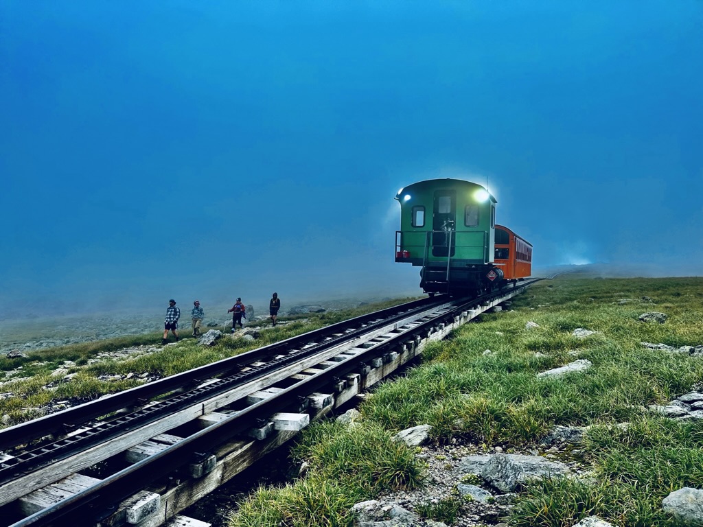
The cog railway does not move very fast, so that goal was quite achievable. Kathryn and Jim soon caught up and we continued to ascend Mt. Washinton, paralleling the tracks. Once we had crossed them, we only had to navigate up its 200-foot rock mound of a summit, where the trail was saturated with hikers.
The summit of Mount Washington becomes incredibly busy with several trails converging with the auto road and railway. We crossed the peak quickly, avoiding the restaurant and lines, and descended the other side. I was pleased to get a closer look at the observatory as we walked by it.
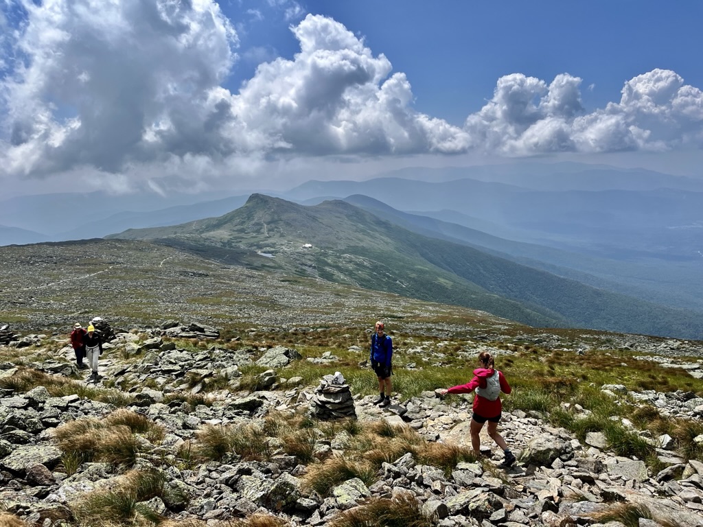
We looked forward to baked goods at Lakes of the Clouds Hut, having brought minimal supplies with the knowledge that we could resupply at the huts. We could see Lakes from over a mile away, so the anticipation became intense.
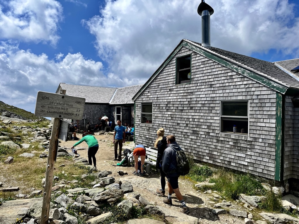
Unfortunately, it was just after lunch, and no baked goods were available when we arrived. The hut did have lemonade and other snacks, though. We did not linger, since it was already past noon. Plus, the summit of Mt. Monroe was visible from the hut, so it served as a reminder to get going. It was a short and steep ascent to the Monroe summit panorama.

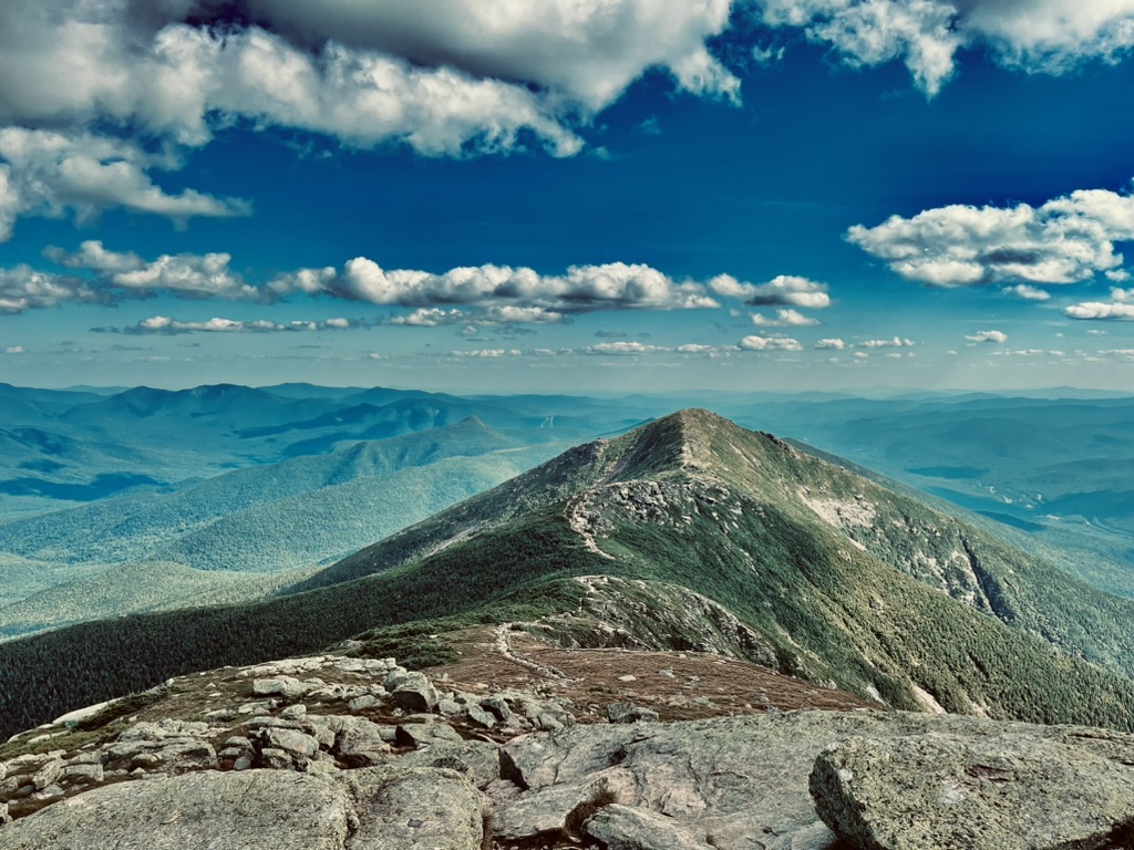
The southern Presidentials were all visible from our vantage point on Mt. Monroe, so we knew what we were getting ourselves into— a long, gradual descent succeeded by a gradual ascent to Mt. Franklin. The wind was picking up, so we donned windbreakers for that stretch.
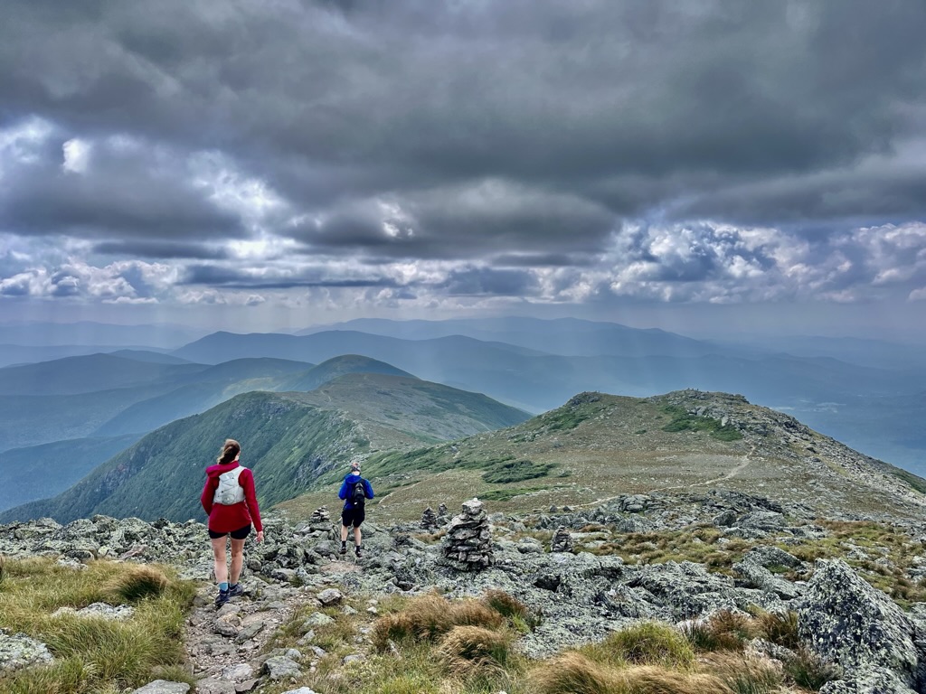
Despite not being an official mountain, Mt. Franklin was exceptionally scenic. I don’t know what it is about unofficial peaks, but they never disappoint.
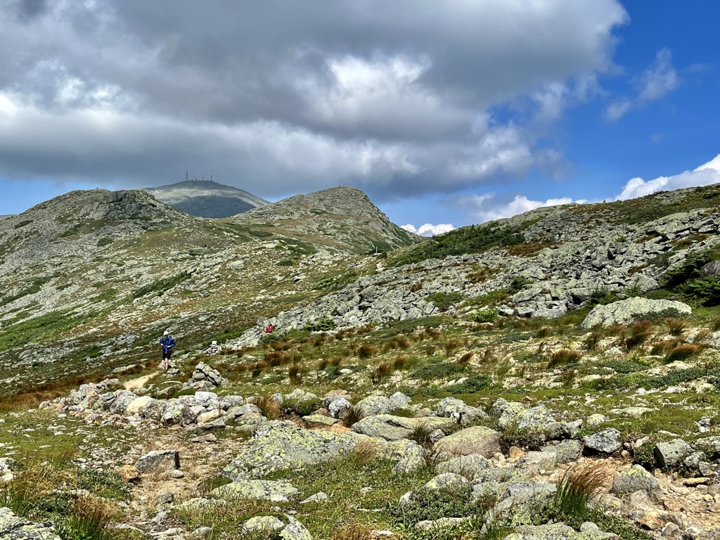
Mount Eisenhower is shaped like half of a bubble. There is a steep ascent, but the summit is flat and rounded. In the past, someone built a massive summit cairn. I was surprised not to see that conspicuous pile of rocks when we crested the summit. Maybe rangers or a trail crew removed it. We stopped for a break on Eisenhower.
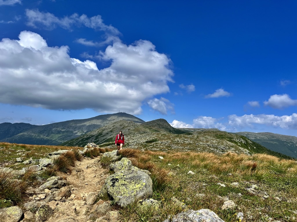
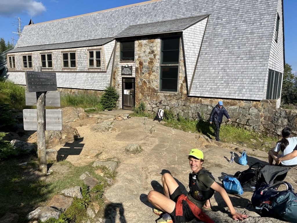
It was already late afternoon when we rolled into Mizpah Spring Hut. We had run across Mt. Pierce, with all of us focused on beating the sun to the horizon line, where we reasoned Crawford Notch was located. Mt. Pierce barely has a view, and does not scrape above treeline, so there was little to distract from aching legs. When we reached the Mitzpah Hut, to find that it also had a limited food selection, we were all pretty worn down. Of course, the huts always sell shot bloks and candy bars. Those eventually got us moving again.
There is a relatively significant distance between Mt. Pierce and Mt. Jackson. Mt. Jackson feels somewhat off the beaten path and the ascent up to it is gradual. We crossed bog bridges between the hut and the summit, jogging, excited to finish the last section of our day. Bog bridges often come with flatter terrain, hence the jogging.
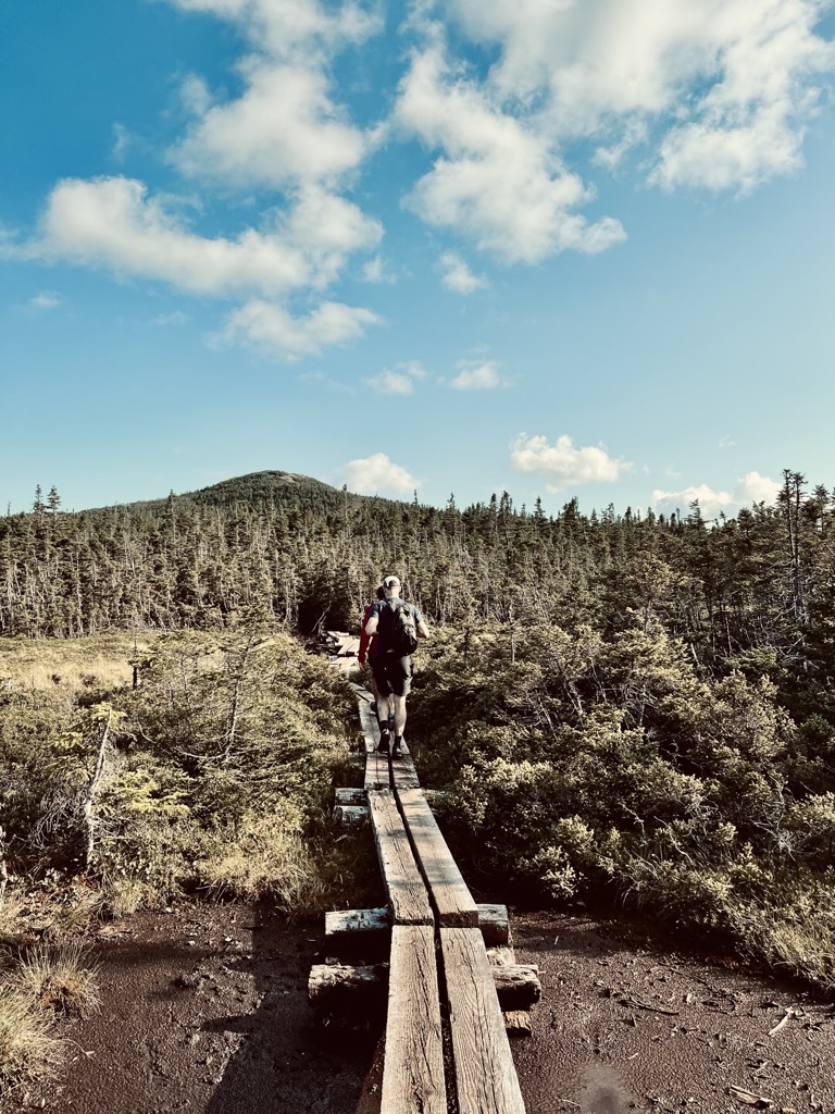
The summit of Mt. Jackson had an epic 360-degree view, and we could see the day’s work, all the way to Mt. Jefferson. We could also see the eastern peaks of the Pemigewasset Wilderness. I had business with them the next day!
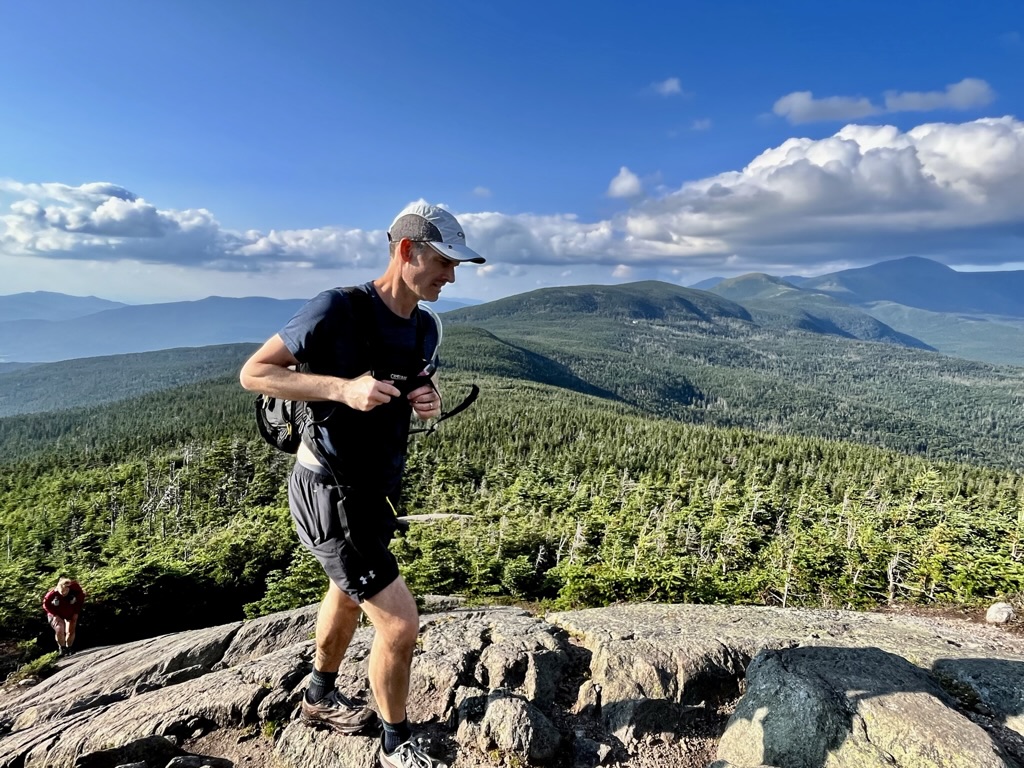
We veered off the beaten path, and the usual Presidential Traverse Route, at Mt. Jackson, as we continued along the Webster Cliff Trail to Mt. Webster. The cliffs by Mt. Webster were gorgeous, but the trail struggled to find an inch of flat ground. It contoured along the cliff’s edge, repeatedly ascending and descending small knolls.
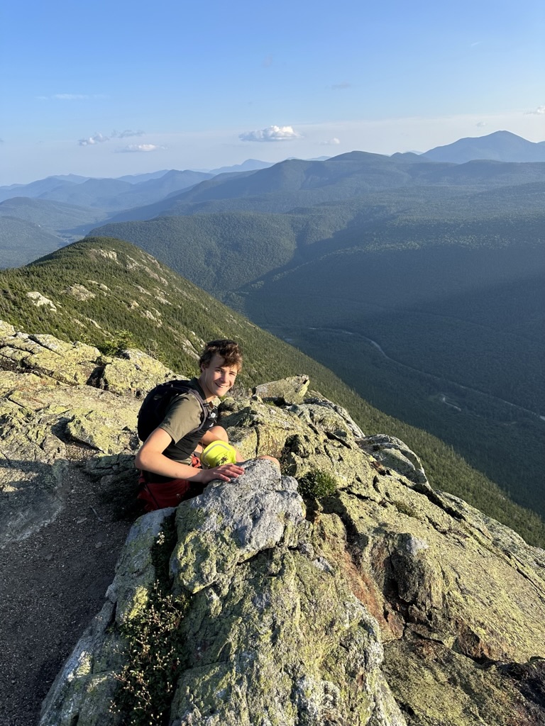
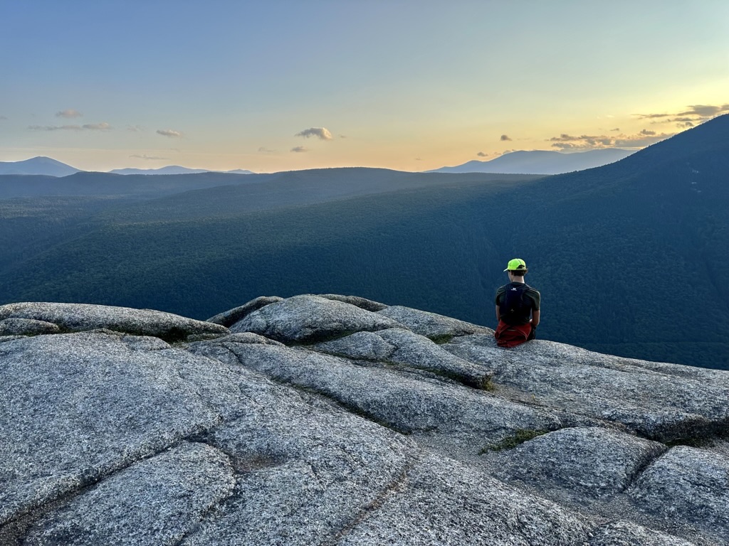
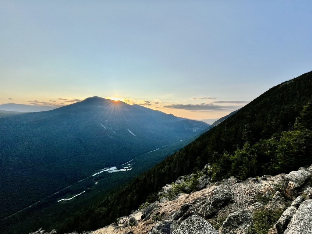
The Webster Cliff ascent is dreaded by hikers for its precipitous nature, but it was not much more appealing as a descent. At least it was scenic much of the way to the valley floor. The rushing of the Saco River came as a relief, as the sun set over the valley. The trail had barely evened off before we crossed the road where our car was parked.
Day 3
My third and final day began early since we had to drive from Pinkham Notch to the trailhead, where we had finished running the day before. I’d be doing much of the final day solo, and I knew I had to run if I wanted to make it to Franconia Notch in time to drive home. I began the day by jogging up the access road for the Ethan Pond Trail.
Initially, I had to power-hike a steep ex-bridlepath. Beginning where that incline tapered off, the Ethan Pond Trail was next-level for running. I averaged seven minutes and thirty seconds per mile across flat ground and bog bridges. Briefly, through the trees, I could see Ethan Pond and the cliff above it. This area was not well-trodden compared to the rest of the Appalachian Trail I’d be crossing.
A series of remote wilderness trails, joined with the AT as it climbed into a canyon. Landslides surrounded both sides of a stream, and the trail contoured along the East wall. This area was scenic, if not photogenic. At the mouth of this “canyon” was Zealand Pond and Zealand Falls Hut. At the hut, I grabbed a brownie and some other supplies. It was hard to leave all their delicious food.
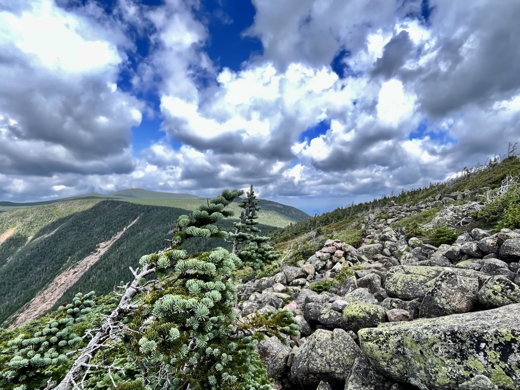
The trail up to the Twinway was steep and difficult to run, but soon I had reached Zealand Peak, taking a short spur to visit the tree-socked summit. From there it was a slog (with sections of running and sections of walking) to Mt. Guyot. Despite the idyllic conditions along the Ethan Pond Trail, the best of the running began at Guyot. The rocky terrain was unforgiving, but being on the Pemi Loop was inspirational! I looked forward to reaching South Twin and Galehead Hut.
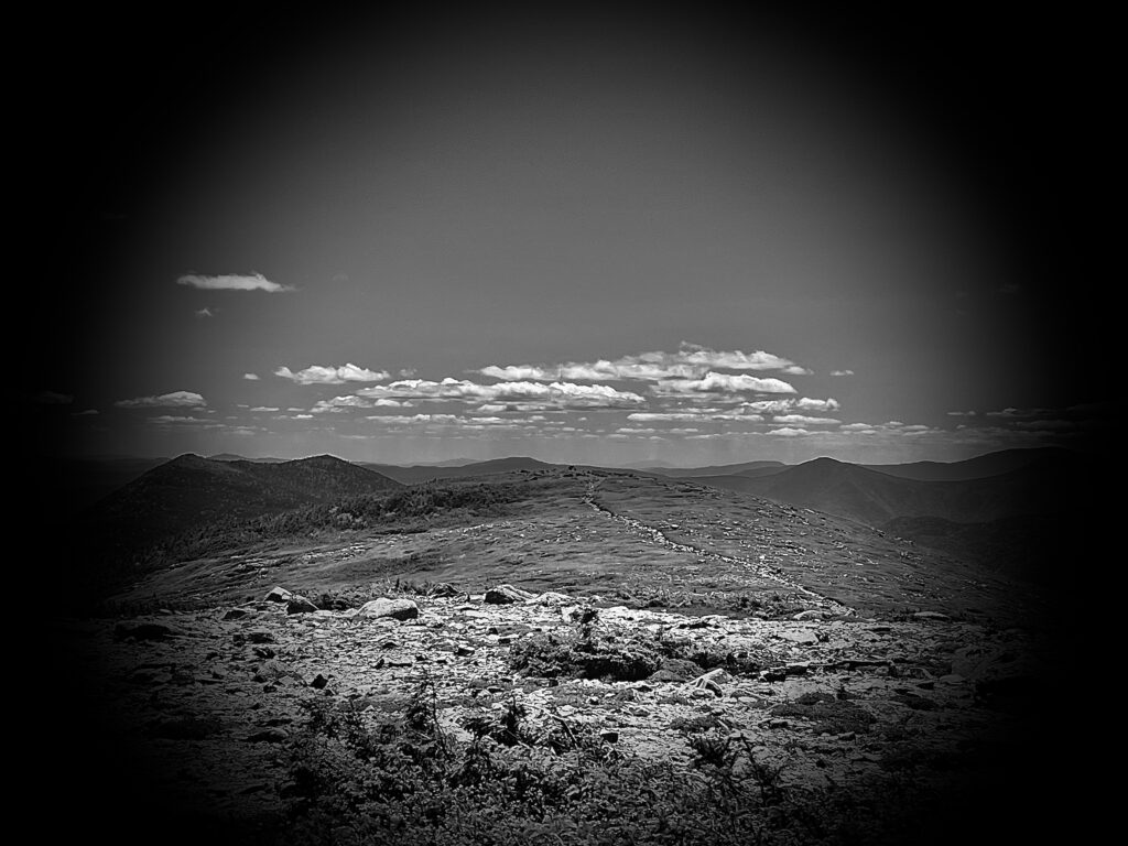
South Twin is a mountain in the middle; three major trails meet at its summit. The view of the Pemigewasset Wilderness was expansive, and I thought I could make out the Carters in the distance. I certainly could see the Franconia Ridge (which was my destination). I spent mere minutes at the summit, the thought of lunch drawing me toward Galehead Hut.
I enjoyed a delicious meal at Galehead and again found it hard to move off. However, I knew Jim would meet me at some point along the route, and I hoped not to make him descend the East side of Garfield. The section between Gailhead and the summit of Garfield is disheartening, to say the least.
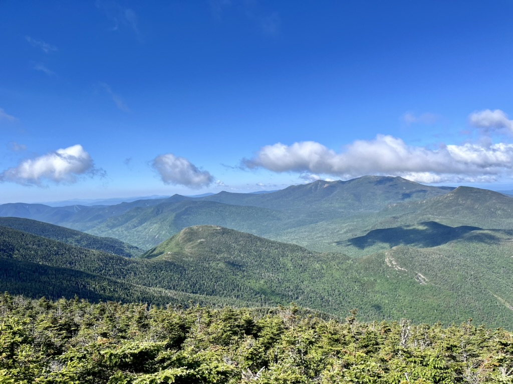
Fortunately, my phone was holding the last night’s charge wonderfully, so I turned on some music (Morgan Wallen), which helped a few miles tick by. I was thrilled when I finally began the ascent to Garfield Peak because it meant there would be no more false summits.
I was surprised to find myself at the Garfield Ridge Spring. I was making great time! Another trail runner, filling up water at the spring, told me he was working on finishing the Pemi Loop, moving in the opposite direction I was. I thought he would be out past dark.

I soon found myself at the remnants of an old fire tower Mt. Garfield is known for. Suddenly, I heard Jim’s voice through the trees. He was talking to some guy, not knowing I had arrived just a minute before him. After reuniting, we took a minute at the summit before moving across another ridge toward the Franconia.
The next segment of the trail was a medieval slog. I was exhausted, burning through water rapidly, and having to refill often. I also experienced that long-distance loss of appetite I always dread. To make matters worse, the descent and ascent between peaks was dramatic compared to those I’d managed without difficulty before. Once we ascended above the treeline on the Franconia Ridge all that was forgotten for a bit.
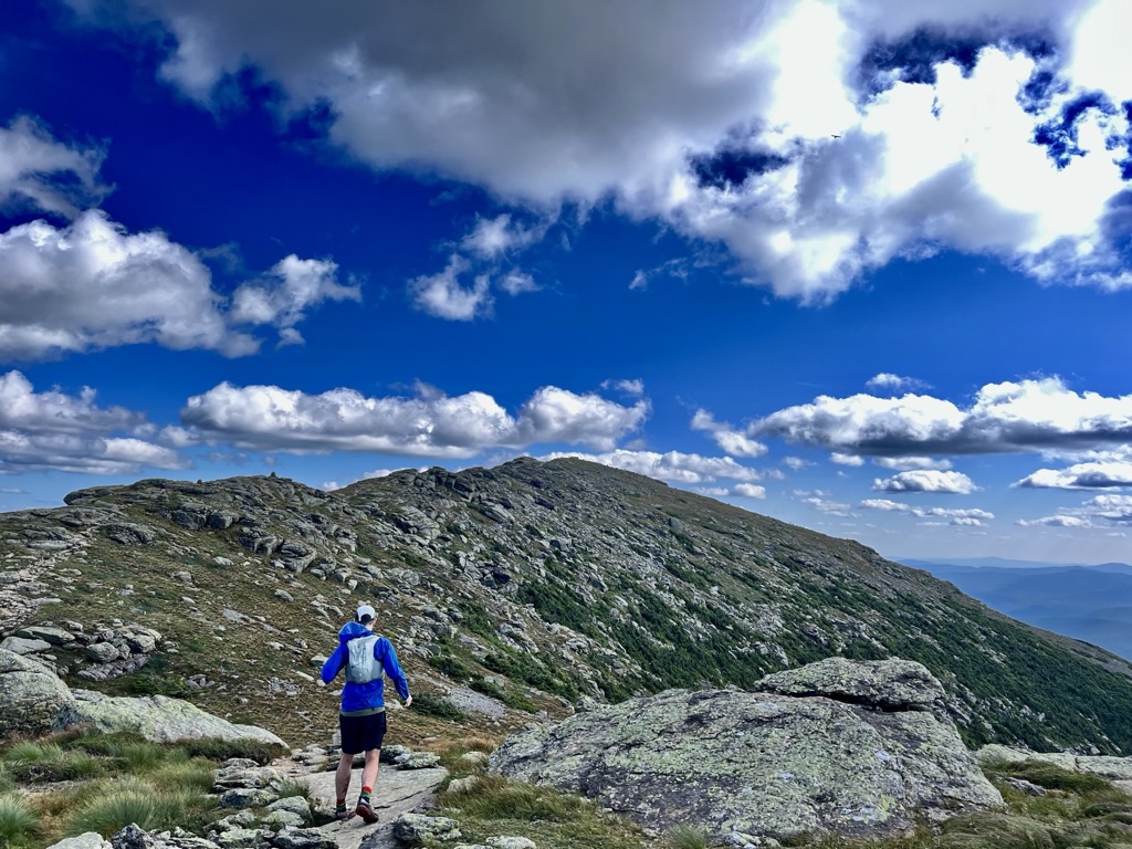
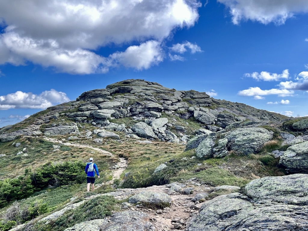
The peak of Mt. Lafayette one-ups Mt. Garfield (in terms of structural design) with a hotel foundation from the 1850s. The wind picked up, and it was tempting to stop in the shelter of the concrete footprint, but there was little time left in the day; we had to press on. Fortunately, the Franconia Ridge allowed me to visualize the distance between our location and a saddle where we would begin our final descent.
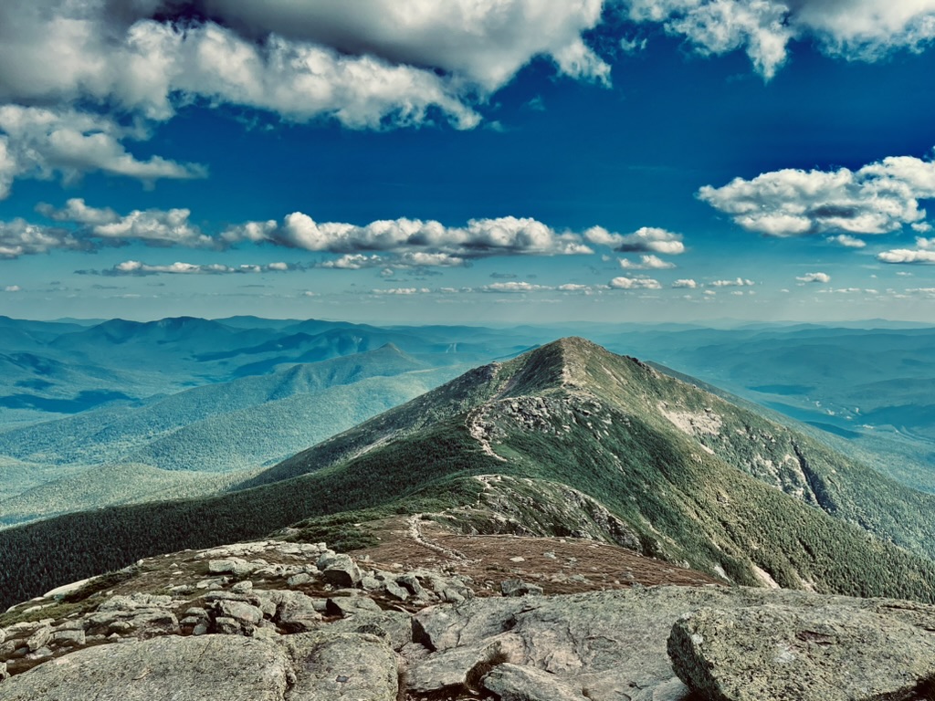
The trail never settled below the treeline; before long, we crested the summit of Mt. Lincoln. That peak stands in the middle of the ridge and it is easy to walk over the summit without noticing it. Lincoln is quite exposed, but the wind died down as evening approached.
Mt. Little Haystack, a false summit of Lincoln, is the last peak on the Franconia Ridge before the descent to Liberty Springs Tensite. At Liberty Springs, an eponymous trail would take us to the Whitehouse Trailhead and the end of our trip. It was a beautiful evening on the ridge, and one I regret not enjoying more. For us, the miles could not tick by fast enough. We ran at a fast clip, barely stopping, until we reached the Franconia Notch Bike Path.
Unfortunately, we followed the Appalachian Trail across the paved path and crossed under Interstate 93. At the interstate, we realized our mistake, and consulted the maps, realizing that we would have to follow the bike path, then the Whitehouse Trail for a mile before reaching the trailhead. Disappointed with this news, we jogged, racing that final mile in under eight minutes.
Reflections:
I don’t usually catalog my trips to the White Mountains, mostly due to their frequency, but also because my routes are generally just random linkups. This trip was different since we planned an aesthetic and comprehensive route in our local mountains instead of going out west this summer. That approach allowed me to see the Whites through fresh eyes, and I realized that by traversing this route, one can get a complete NH hiking experience.
With so many huts, tent sites, and peaks that characterize the area, this section of the Appalachian Trail makes an awesome trip, even for those who don’t live nearby. The European-style huts in the Whites are relatively unique and make for a new experience. This route hits almost all of the best locations in the Whites, at least in my opinion.

The entirety of the route: from the Rattle River Trailhead to the Whitehouse Trailhead. https://www.gaiagps.com/map/?loc=9.4/-71.6624/44.1488&pubLink=2Z0n5SCq2c5ynTLxI7wnKXbQ&trackId=992089aa-5c1e-492c-8bf1-57c3a4d85fa3
In the past, I’ve sold my home mountains on the East Coast short, but the scenic greenery here is on par with the bigger country out west. My watch recorded over 80 miles, though the route claims to be 70 on Gaia. The trails are all in great condition and the only huts not included are Lonesome Lake and Greenleaf.
Overall, this was as wonderful as any hiking trip; it inspired some new, more creative linkups for me! If you are interested in a similar hike, I can provide any context below in the comments. I would expect this route to take 5-9 days if camping or staying in huts. (ie. Rattle River to Carter Notch Hut, Carter Notch to Madison Spring Hut, Madison Spring to Mizpah Spring, Mizpah to Zealand or Galehead, Galehead to Whitehouse.) The huts are quite expensive, and camping can be difficult with dense tree cover, so not doing this as a trail run with staged cars could prove more difficult.
I have provided a list of landmarks for your convenience below:
| Location: | Miles Remaining: |
| Rattle River TH | 67.5 |
| Moriah Spur | 62.5 |
| Imp Shelter | 60.5 |
| North Carter | 59 |
| Middle Carter | 58.5 |
| South Carter | 57 |
| Carter Dome | 55 |
| Carter Notch Hut | 54 |
| Wildcat D | 52 |
| Pinkham Notch | 49 |
| Osgood Tentsite | 45 |
| Mt. Madison | 43 |
| Madison Spring Hut | 42.5 |
| Mt. Adams | 42 |
| Mt. Jefferson | 40 |
| Mt. Washington (long spur to Hermit Lakes Shelter w/ Camping) | 37 |
| Lakes of the Clouds Hut | 35.5 |
| Mt. Monroe | 35 |
| Mt. Eisenhower | 33 |
| Mizpah Spring Hut | 31 |
| Mt. Jackson | 29.5 |
| Crawford Notch State Park (Route 302) | 25 |
| Ethan Pond Tentsite | 22 |
| Zealand Falls Hut | 18 |
| Mt. Zealand (spur) | 15 |
| Mt. Guyot (unofficial peak) (nearby Guyot Tentsite) | 14 |
| South Twin | 12.5 |
| Galehead Hut (spur to Galehead Mtn.) | 11.5 |
| Mt. Garfield (Garfield Ridge Tensite) | 10 |
| Mt. Lafayette (long spur down to Greenleaf Hut) | 6 |
| Mt. Lincoln | 5 |
| Liberty Springs Tentsite | 2.5 |
| Whitehouse TH | 0 |